
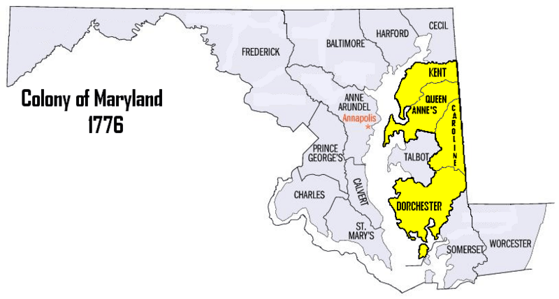
Image: Map of maryland counties QA,Kent,Caroline,Dorchester (5th RGT)

Size of this preview: 800 × 429 pixels. Other resolutions: 320 × 171 pixels | 814 × 436 pixels.
Original image (814 × 436 pixels, file size: 70 KB, MIME type: image/png)
Description: Map of the Colony of Maryland 1776, 5th Maryland Regiment's Recruitment Areas
Title: Map of maryland counties QA,Kent,Caroline,Dorchester (5th RGT)
Credit: edited by Oldwildbill
Author: Oldwildbill
Permission: David Benbennick – created Maryland Map for free use.
Usage Terms: Public domain
License: Public domain
Attribution Required?: No
Image usage
The following page links to this image:

All content from Kiddle encyclopedia articles (including the article images and facts) can be freely used under Attribution-ShareAlike license, unless stated otherwise.
.PNG)