
Image: Map of occupation zones on Crete April 1898
No higher resolution available.
Map_of_occupation_zones_on_Crete_April_1898.JPG (779 × 348 pixels, file size: 36 KB, MIME type: image/jpeg)
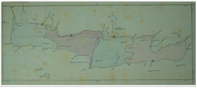
Description: Major General Herbert Chermside′s (1850–1929) map of Crete showing zones of occupation and blockade responsibilities for the four remaining countries participating in the 1897-1898 intervention there via the International Squadron after the withdrawal of Austria-Hungary and the German Empire. Zones are, left to right, those of Italy, the Russian Empire, the United Kingdom, and France. Canea and Suda Bay remained under the international control of all four countries.
Title: Map of occupation zones on Crete April 1898
Credit: The British in Crete, 1896 to 1913: Dividing Crete
Author: Unattributed
Usage Terms: Public domain
License: Public domain
Attribution Required?: No
Image usage
The following page links to this image:

All content from Kiddle encyclopedia articles (including the article images and facts) can be freely used under Attribution-ShareAlike license, unless stated otherwise.