
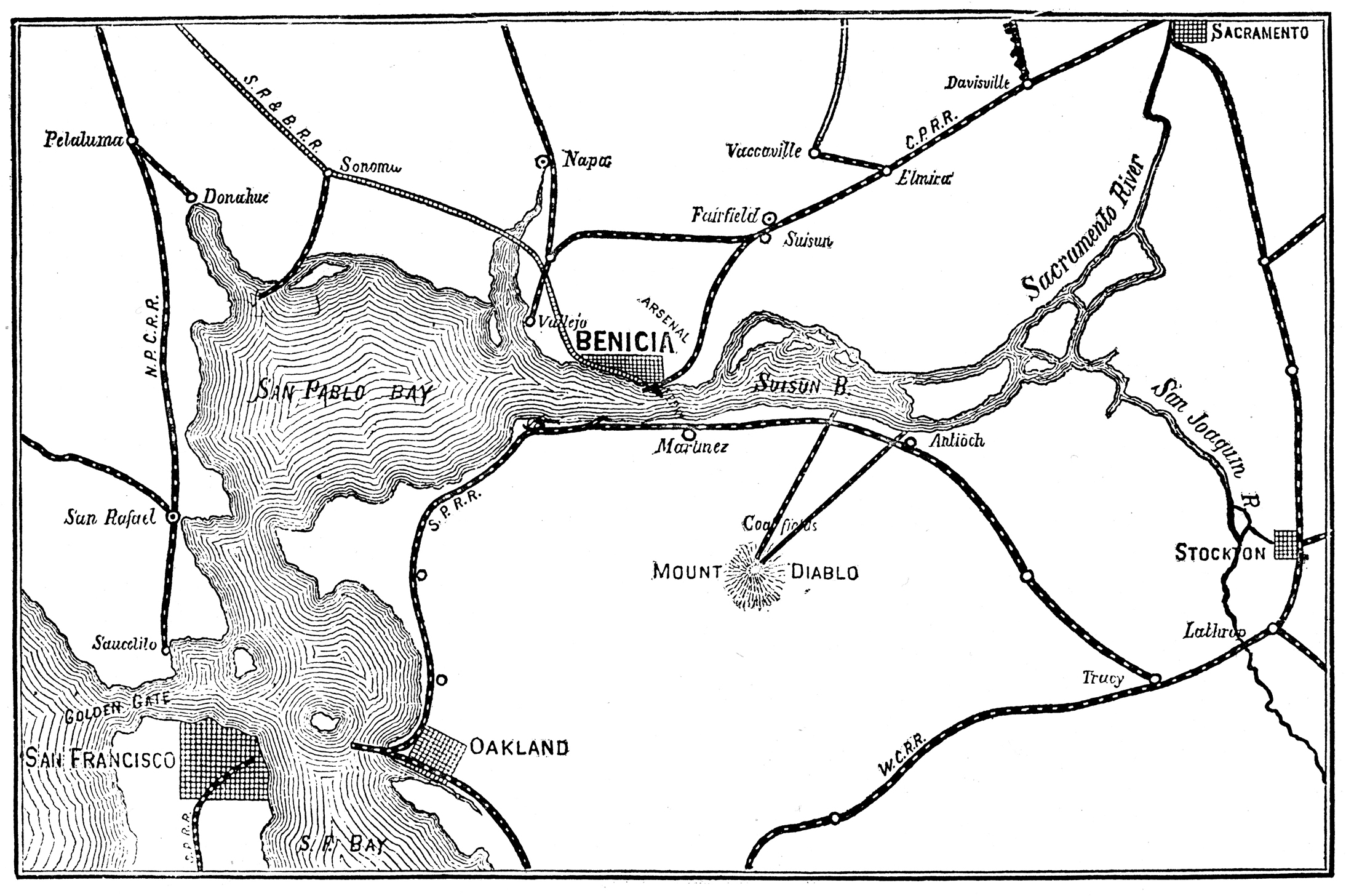
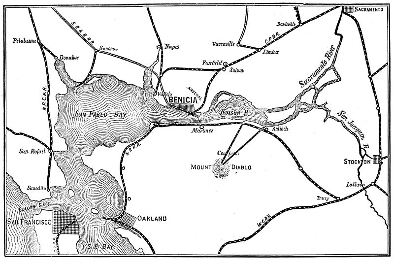
Image: Map of railroad connections to Benicia and the San Francisco Bay area 1885
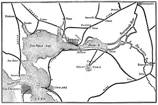
Size of this preview: 800 × 532 pixels. Other resolutions: 320 × 213 pixels | 2,188 × 1,456 pixels.
Original image (2,188 × 1,456 pixels, file size: 1.06 MB, MIME type: image/jpeg)
Description: Railroad connections to Benicia, CA and the San Francisco Bay Area 1885
Title: Map of railroad connections to Benicia and the San Francisco Bay area 1885
Credit: "Specimen Book of Electrotypes Comprising Pacific Coast Scenery, General Illustrations, Trade Cuts, Advertising, Novelties, &c." Oakland, CA: Pacific Press Publishing House 1885 "The Cooper Collections of U.S. Railroad History" (uploader's personal collection) Scanned by the uploader, Centpacrr.
Author: Pacific Press Publishing House (Engraving); Centpacrr (Digital image)
Usage Terms: Public domain
License: Public domain
Attribution Required?: No
Image usage
The following page links to this image:

All content from Kiddle encyclopedia articles (including the article images and facts) can be freely used under Attribution-ShareAlike license, unless stated otherwise.