
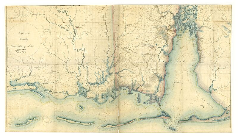
Image: Map of the Country South and West of Mobile - NARA - 70652875

Size of this preview: 800 × 457 pixels. Other resolutions: 320 × 183 pixels | 19,454 × 11,119 pixels.
Original image (19,454 × 11,119 pixels, file size: 23.09 MB, MIME type: image/jpeg)
Description: Scope and content: Covers parts of Alabama and Mississippi. Drawn by Col. S.H. Lockett and Nicholas Marrshall.
Title: Map of the Country South and West of Mobile
Credit: U.S. National Archives and Records Administration
Author: Unknown authorUnknown author or not provided
Usage Terms: Public domain
License: Public domain
Attribution Required?: No
Image usage
The following page links to this image:

All content from Kiddle encyclopedia articles (including the article images and facts) can be freely used under Attribution-ShareAlike license, unless stated otherwise.