
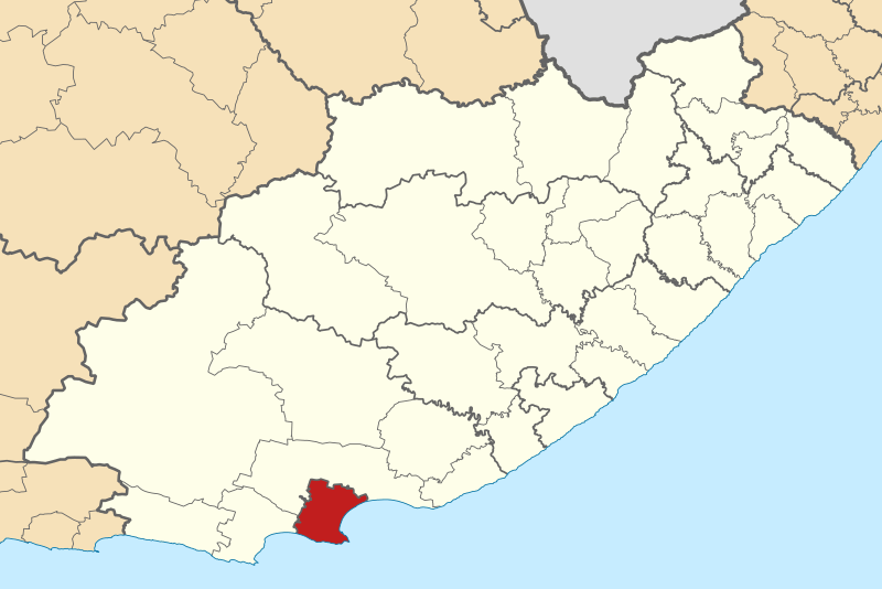
Image: Map of the Eastern Cape with Nelson Mandela Bay highlighted (2016)

Size of this PNG preview of this SVG file: 800 × 534 pixels. Other resolution: 320 × 214 pixels.
Original image (SVG file, nominally 928 × 620 pixels, file size: 631 KB)
Description: Map of municipal boundaries in the Eastern Cape, as they are after the municipal elections of 3 August 2016, with the Nelson Mandela Bay Metropolitan Municipality highlighted in red. Based on File:Map of the Eastern Cape with municipalities blank (2016).svg.
Title: Map of the Eastern Cape with Nelson Mandela Bay highlighted (2016)
Credit: Own work
Author: Htonl
Usage Terms: Creative Commons Attribution-Share Alike 4.0
License: CC BY-SA 4.0
License Link: https://creativecommons.org/licenses/by-sa/4.0
Attribution Required?: Yes
Image usage
The following image is a duplicate of this image (more details):
There are no pages that link to this image.

All content from Kiddle encyclopedia articles (including the article images and facts) can be freely used under Attribution-ShareAlike license, unless stated otherwise.
.svg)