
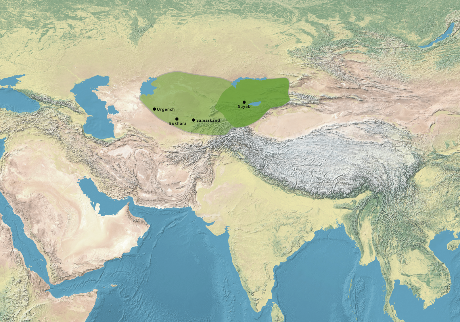
Image: Map of the Kara-Khanid Khanate
Size of this preview: 800 × 560 pixels. Other resolutions: 320 × 224 pixels | 4,540 × 3,178 pixels.
Original image (4,540 × 3,178 pixels, file size: 10.66 MB, MIME type: image/png)
Description: Map of the Kara-Khanid Khanate. Source: (in English) (30 April 2016) Palgrave Concise Historical Atlas of Central Asia, Springer, p. 56 ISBN: 978-0-230-61090-3.
Title: Map of the Kara-Khanid Khanate
Credit: This file has been extracted from another file
Author: Ktrinko Gabagool
Usage Terms: Creative Commons Attribution 3.0
License: CC BY 3.0
License Link: https://creativecommons.org/licenses/by/3.0
Attribution Required?: Yes
Image usage
The following page links to this image:

All content from Kiddle encyclopedia articles (including the article images and facts) can be freely used under Attribution-ShareAlike license, unless stated otherwise.