
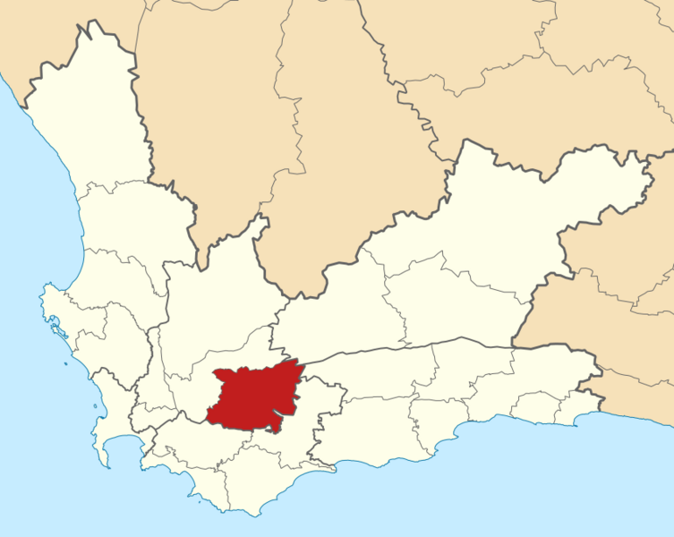
Image: Map of the Western Cape with Langeberg highlighted (2011)

Size of this PNG preview of this SVG file: 753 × 600 pixels. Other resolution: 302 × 240 pixels.
Original image (SVG file, nominally 849 × 676 pixels, file size: 330 KB)
Description: Map of municipal boundaries in the Western Cape, as they will be after the municipal elections of 18 May 2011, with the Langeberg Local Municipality highlighted in red. Based on File:Map of the Western Cape with municipalities blank (2011).svg.
Title: Map of the Western Cape with Langeberg highlighted (2011)
Credit: Own work
Author: Htonl
Usage Terms: Creative Commons Attribution-Share Alike 4.0
License: CC BY-SA 4.0
License Link: https://creativecommons.org/licenses/by-sa/4.0
Attribution Required?: Yes
Image usage
The following page links to this image:

All content from Kiddle encyclopedia articles (including the article images and facts) can be freely used under Attribution-ShareAlike license, unless stated otherwise.
.svg)