
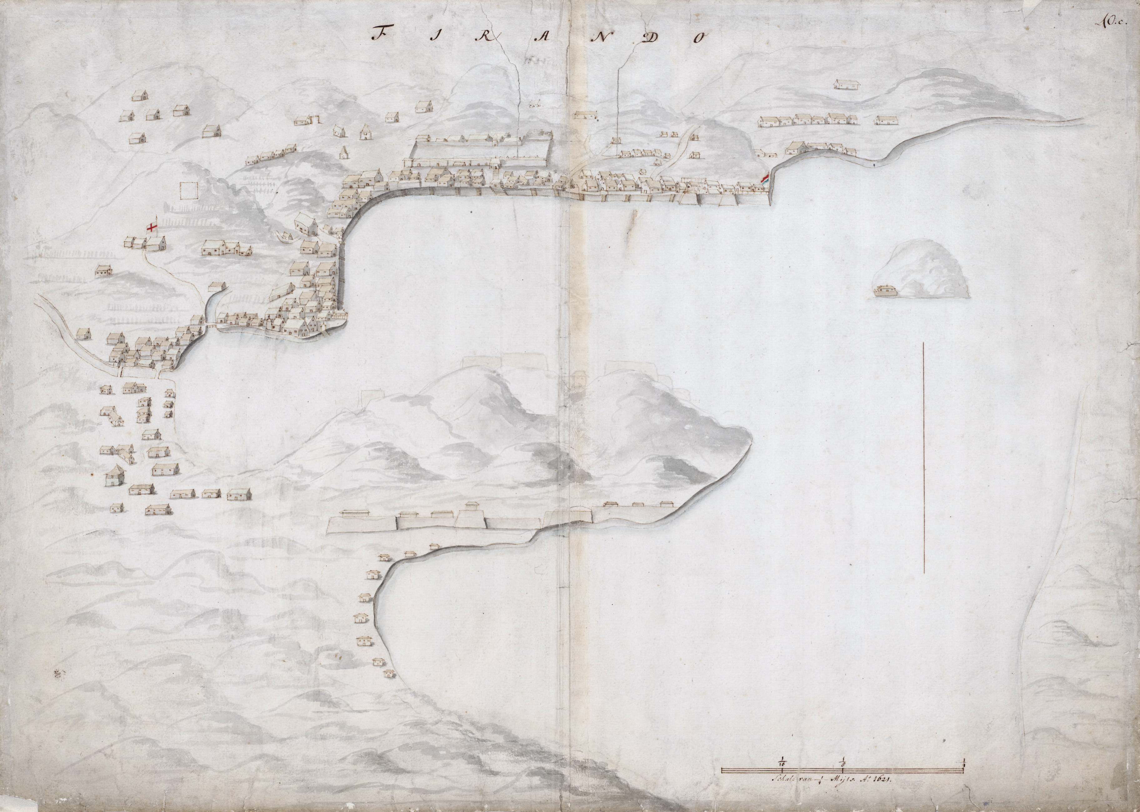
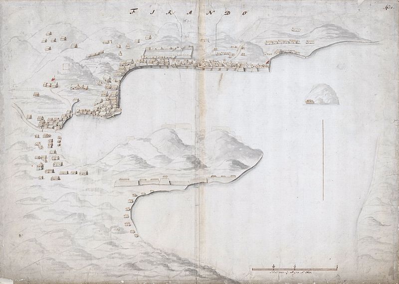
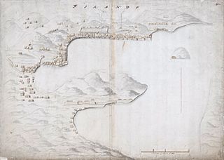
Image: Map of the bay of Hirado
Size of this preview: 800 × 570 pixels. Other resolutions: 320 × 228 pixels | 3,649 × 2,599 pixels.
Original image (3,649 × 2,599 pixels, file size: 2.73 MB, MIME type: image/jpeg)
Description: Topographical map of the bay of Hirado in 1621. To the right on the shore-line, the en:Dutch East India Company trading post is marked with the red-white-blue flag of the Netherlands. To the far left, somewhat back from the shore-line, notice the white flag with the red cross, possibly the en:St George's Cross of England. The English factory in Hirado was established in 1613. Richard Cocks was appointed as chief merchant. The factory was eventually closed in 1623
Title: Map of the bay of Hirado
Credit: Nationaal Archief Atlas Amsterdam van Isaac de Graaff
Author: Unknown
Usage Terms: Public domain
License: Public domain
Attribution Required?: No
Image usage
The following 2 pages link to this image:

All content from Kiddle encyclopedia articles (including the article images and facts) can be freely used under Attribution-ShareAlike license, unless stated otherwise.