
Image: Map png - crovan dynasty - international
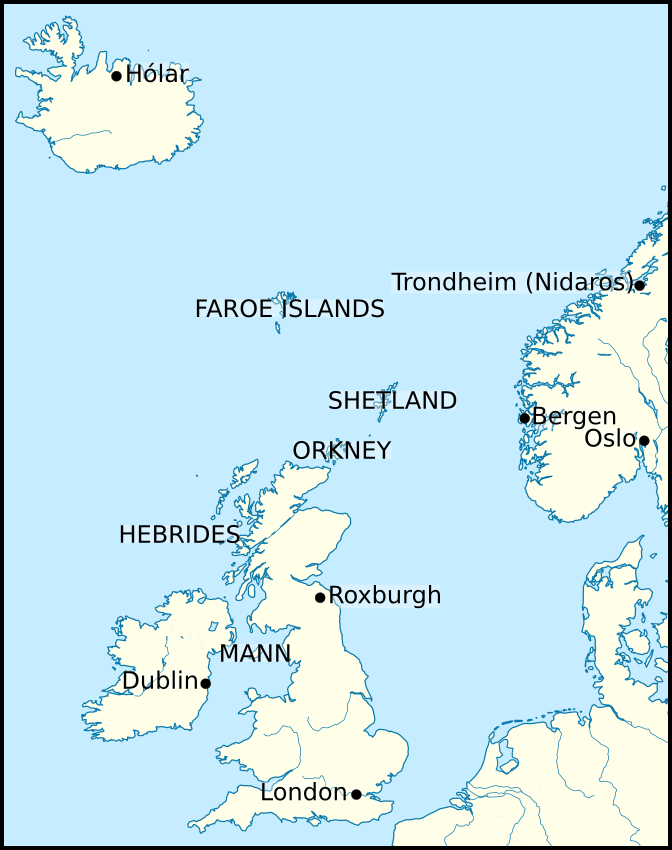
Description: Map showing the location of the Kingdom of Mann and the Isles in relation to England, Iceland, Ireland, Norway, and Scotland. Locations displayed on this map include: Bergen (Norway), Dublin (Ireland), Hólar (Iceland), London (England), Oslo (Norway), Roxburgh (Scotland), Trondheim (Norway). I based this map off the maps published in the following book: McDonald, R.A. (2007). Manx Kingship in its Irish sea Setting, 1187–1229: King Rǫgnvaldr and the Crovan dynasty. Four Courts Press. 978-1-84682-047-2. pages 21–26.
Title: Map png - crovan dynasty - international
Credit: I, Brianann MacAmhlaidh, created this work entirely by myself. I used the following file in creating this image: Europe laea location map.svg, by Alexrk2.
Author: Brianann MacAmhlaidh (talk)
Usage Terms: Creative Commons Attribution-ShareAlike 3.0
License: CC-BY-SA-3.0
License Link: https://creativecommons.org/licenses/by-sa/3.0/
Attribution Required?: Yes
Image usage
The following page links to this image:
