
Image: Mapa podziału Księstwa Polskiego w 1102
No higher resolution available.
Mapa_podziału_Księstwa_Polskiego_w_1102.jpg (600 × 528 pixels, file size: 47 KB, MIME type: image/jpeg)
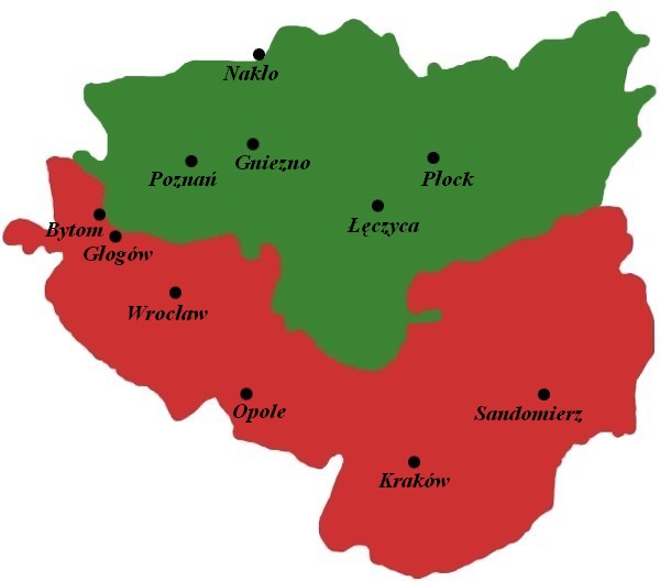
Description: The map of division of Polish Duchy in 1102, after death of Władysław I Herman.
Title: Mapa podziału Księstwa Polskiego w 1102
Credit: http://www.polskiedzieje.pl/mapy-granic-polski/mapa-boleslaw_krzywousty
Author: Kargul1965
Usage Terms: Creative Commons Attribution 3.0
License: CC BY 3.0
License Link: https://creativecommons.org/licenses/by/3.0
Attribution Required?: Yes
Image usage
The following page links to this image:

All content from Kiddle encyclopedia articles (including the article images and facts) can be freely used under Attribution-ShareAlike license, unless stated otherwise.