
Image: Mapofrocheseterenglandfromfreemanswilliamrufus1882e

Size of this preview: 800 × 433 pixels. Other resolutions: 320 × 173 pixels | 4,934 × 2,670 pixels.
Original image (4,934 × 2,670 pixels, file size: 1.67 MB, MIME type: image/jpeg)
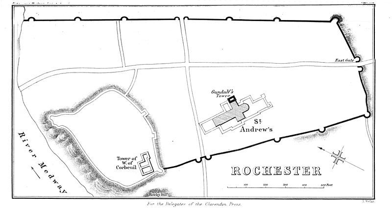
Description: Map of the town of Rochester, England during the reign of King w:William II of England, c. 1090. Edited to remove noise.
Title: Mapofrocheseterenglandfromfreemanswilliamrufus1882e
Credit: E. A. Freeman's The Reign of William Rufus 1882: https://books.google.com/books?id=I_4GAAAAQAAJ&dq=freeman%20william%20rufus&pg=PA54-IA1#v=onepage&q=rochester&f=false
Author: Original unknown, possibly E. A. Freeman; Edited and uploaded User:ClemRutter 24 Feb 2008
Permission: public domain
Usage Terms: Public domain
License: Public domain
Attribution Required?: No
Image usage
The following 2 pages link to this image:

All content from Kiddle encyclopedia articles (including the article images and facts) can be freely used under Attribution-ShareAlike license, unless stated otherwise.