
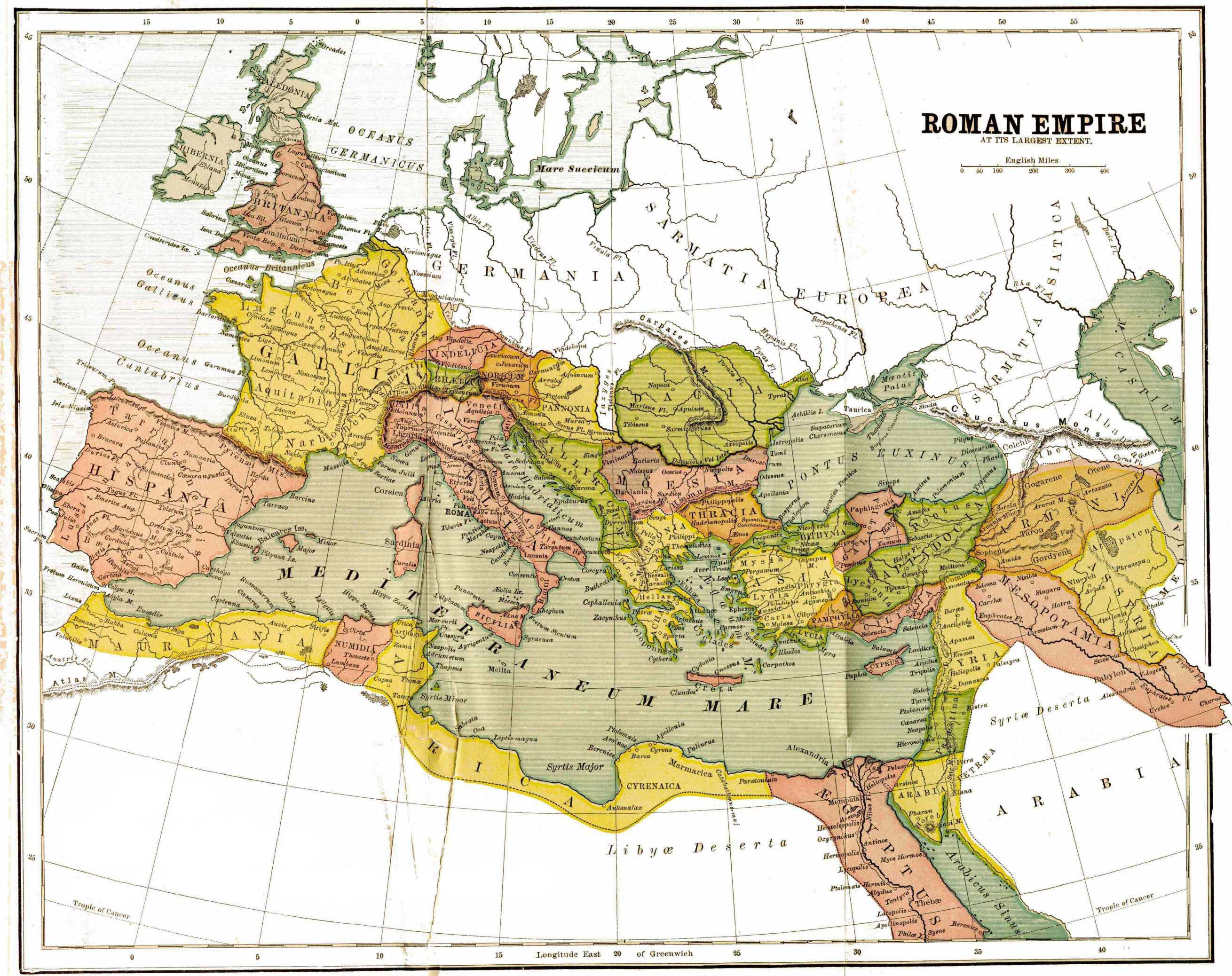
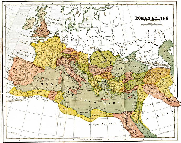
Image: Maps-roman-empire-peak-150AD
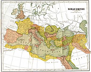
Size of this preview: 757 × 600 pixels. Other resolutions: 303 × 240 pixels | 2,620 × 2,076 pixels.
Original image (2,620 × 2,076 pixels, file size: 1.12 MB, MIME type: image/jpeg)
Description: map of the Roman Empire, with provinces, in 150 AD
Title: Maps-roman-empire-peak-150AD
Credit: http://www.bible.ca/maps/maps-roman-empire-peak-150AD.jpg
Author: George R. Crooks
Usage Terms: Public domain
License: Public domain
Attribution Required?: No
Image usage
There are no pages that link to this image.

All content from Kiddle encyclopedia articles (including the article images and facts) can be freely used under Attribution-ShareAlike license, unless stated otherwise.