
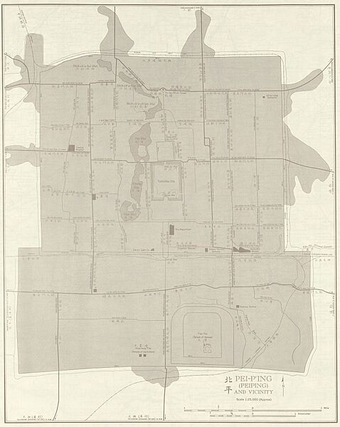
Image: Maps of Beijing, 1950s
Size of this preview: 478 × 599 pixels. Other resolutions: 191 × 240 pixels | 3,150 × 3,950 pixels.
Original image (3,150 × 3,950 pixels, file size: 3.01 MB, MIME type: image/jpeg)
Description: China AMS Topographic Maps - [Code: 2114950544 G 7810 S250 U54 Sheet NJ 50-2 PCL MAP]
Title: Maps of Beijing, 1950s
Credit: Courtesy of the University of Texas Libraries, The University of Texas at Austin.
Author: Army Map Service, Corps of Engineers
Usage Terms: Public domain
License: Public domain
Attribution Required?: No
Image usage
The following page links to this image:

All content from Kiddle encyclopedia articles (including the article images and facts) can be freely used under Attribution-ShareAlike license, unless stated otherwise.