
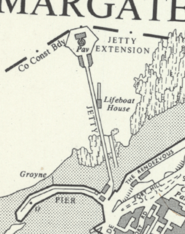
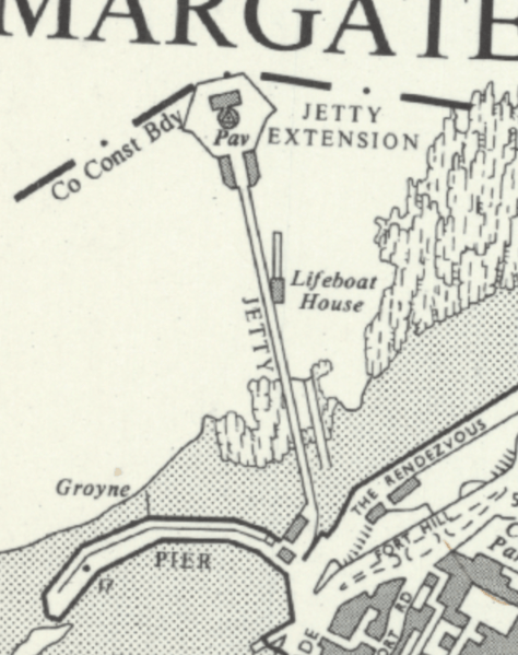
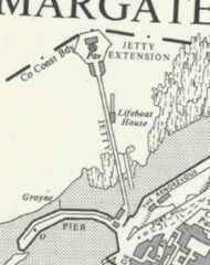
Image: Margate jetty circa 1949 map
Size of this preview: 474 × 599 pixels. Other resolutions: 190 × 240 pixels | 623 × 787 pixels.
Original image (623 × 787 pixels, file size: 681 KB, MIME type: image/png)
Description: Margate Jetty from OS mapping
Title: Margate jetty circa 1949 map
Credit: https://maps.nls.uk/
Author: Ordnance Survey
Usage Terms: Public domain
License: Public domain
Attribution Required?: No
Image usage
The following page links to this image:

All content from Kiddle encyclopedia articles (including the article images and facts) can be freely used under Attribution-ShareAlike license, unless stated otherwise.