
Image: Marmiton River Battlefield Missouri
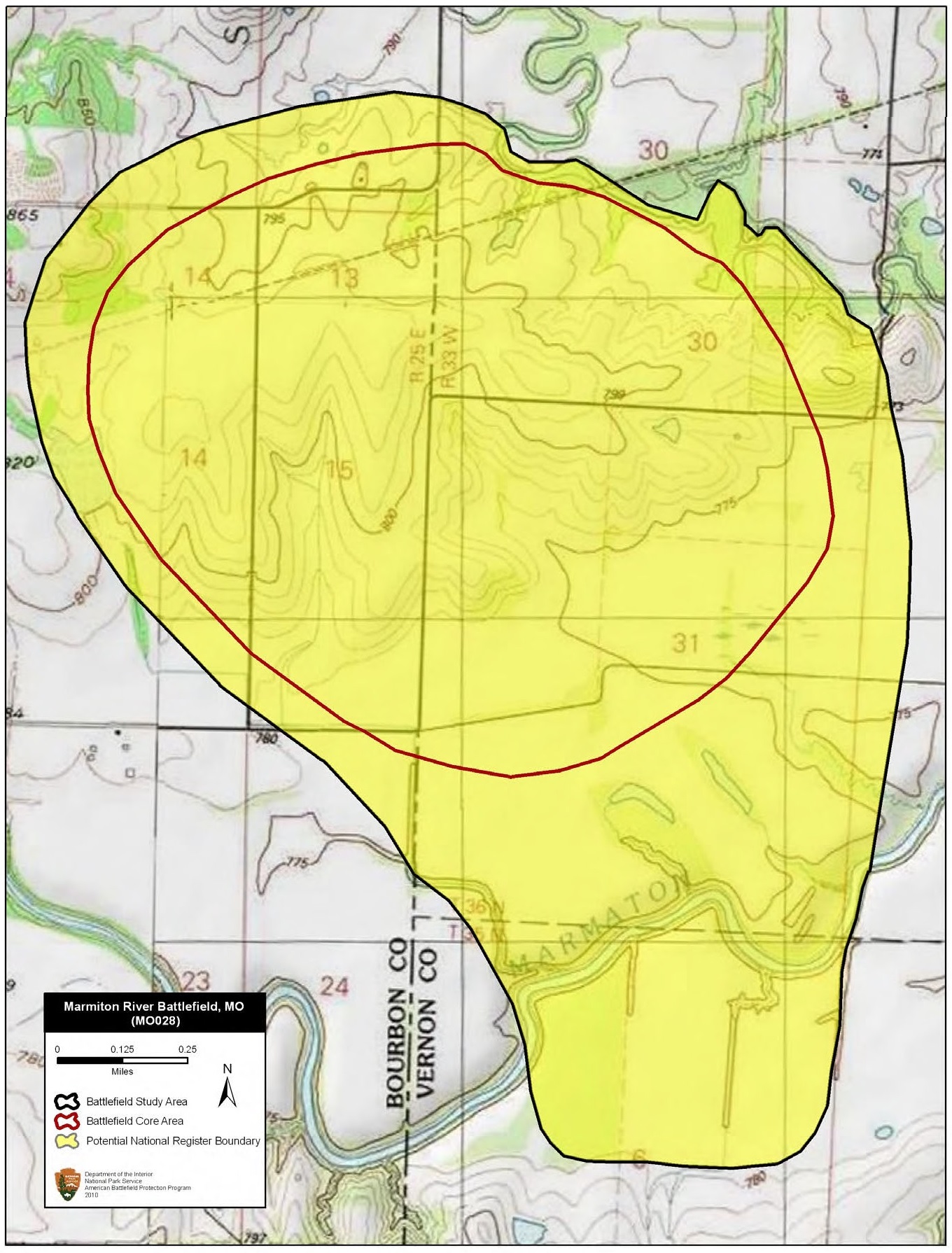
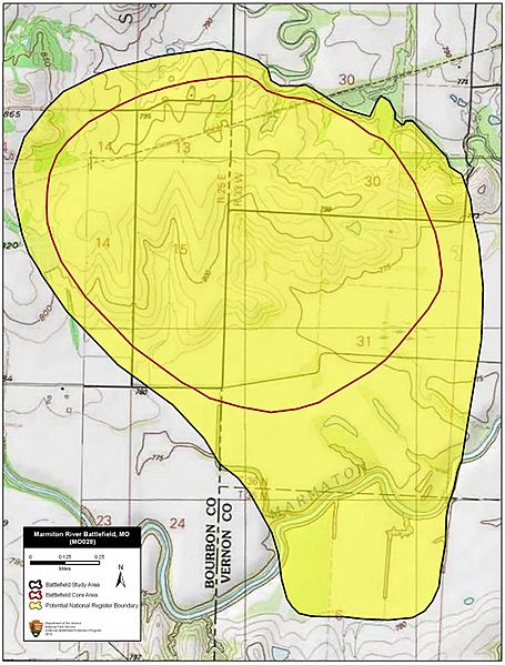
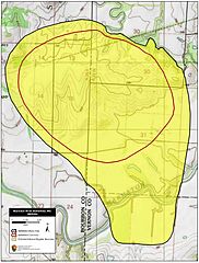
Description: Map of battlefield core and study areas. The 1993 Study Area and Core Area were both drawn on an east-west alignment. The fighting actually occurred from north to south. The ABPP therefore realigned the 1993 Study Area and Core Area boundaries and removed the mapping inaccuracies. The Study Area was further modified to include the location where Confederate forces forded the Marmiton River, and the area south of the river where Price abandoned a large portion of his wagon train. No approach routes could be identified definitively: the military road no longer exists. Similarly, the ABPP was unable to identify the Confederate route of withdrawal south of the river on the modern landscape.
Title: Marmiton River Battlefield Missouri
Credit: National Park Service
Author: American Battlefield Protection Program
Usage Terms: Public domain
License: Public domain
Attribution Required?: No
Image usage
The following page links to this image:
