
Image: Mid-City Map from OpenStreetMap
Size of this preview: 725 × 600 pixels. Other resolutions: 290 × 240 pixels | 1,890 × 1,564 pixels.
Original image (1,890 × 1,564 pixels, file size: 4.52 MB, MIME type: image/png)
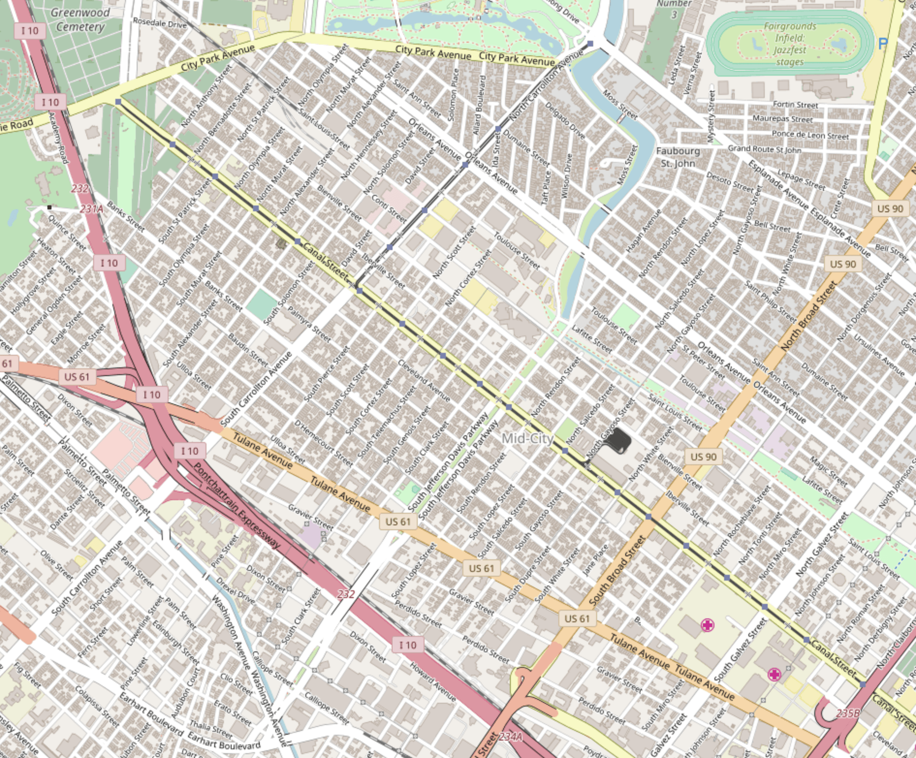
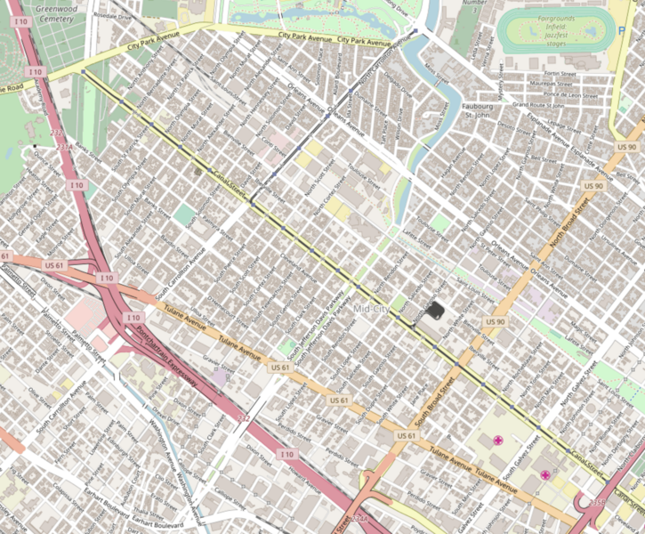
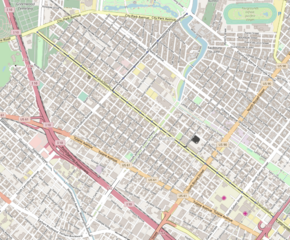
Description: Mid-City is a neighborhood of the city of New Orleans. A sub-district of the Mid-City District Area, its boundaries as defined by the City Planning Commission are: City Park Avenue, Toulouse Street, North Carrollton, Orleans Avenue, Bayou St. John and St. Louis Street to the north, North Broad Street to the east, and the Pontchartrain Expressway to the west.
Title: Mid-City Map from OpenStreetMap
Credit: https://www.openstreetmap.org/#map=15/29.9649/-90.0828
Author: OpenStreetMap
Usage Terms: Open Database License
License: ODbL
License Link: http://opendatacommons.org/licenses/odbl/1.0/
Attribution Required?: Yes
Image usage
The following page links to this image:

All content from Kiddle encyclopedia articles (including the article images and facts) can be freely used under Attribution-ShareAlike license, unless stated otherwise.