
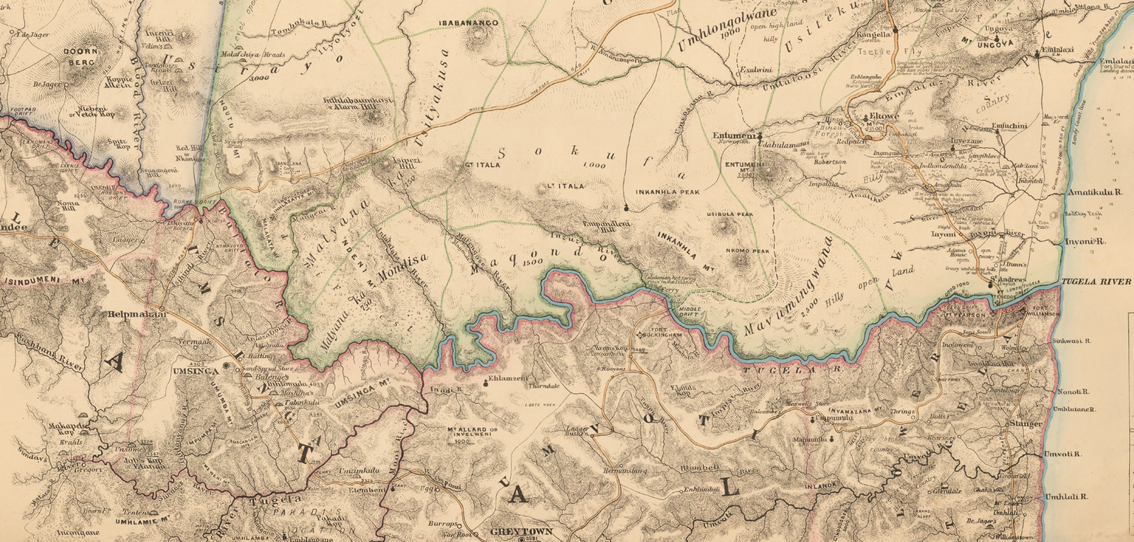
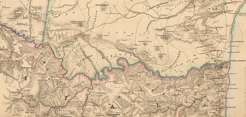
Image: Military Map of Zulu Land (cropped to Natal frontier)
Size of this preview: 800 × 382 pixels. Other resolutions: 320 × 153 pixels | 1,632 × 780 pixels.
Original image (1,632 × 780 pixels, file size: 1.66 MB, MIME type: image/jpeg)
Description: Military Map of Zulu Land, 1879
Title: Military Map of Zulu Land (cropped to Natal frontier)
Credit: Military Map of Zulu Land, 1879 https://www.raremaps.com/gallery/detail/51031/military-map-of-zulu-land-compiled-from-most-recent-informat-quartermaster-generals-department
Author: Intelligence Branch of the Quartermaster General’s Department of the British Army
Usage Terms: Public domain
License: Public domain
Attribution Required?: No
Image usage
The following page links to this image:

All content from Kiddle encyclopedia articles (including the article images and facts) can be freely used under Attribution-ShareAlike license, unless stated otherwise.
.jpg)