
Image: Minor Mineral Quarry Map, Thiruvalla Taluk
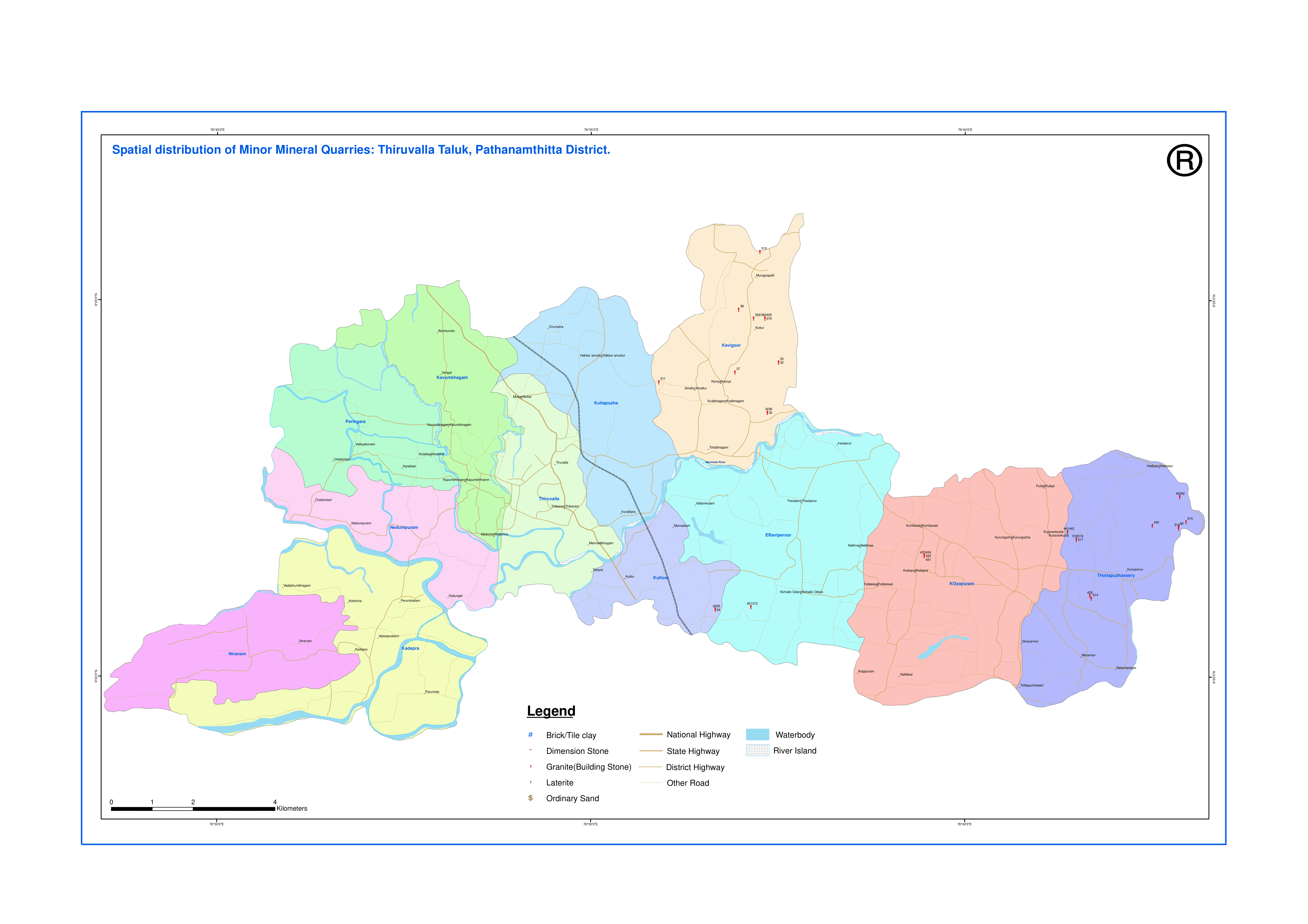
Description: Minor Mineral Quarry Map of Thiruvalla Taluk (Subdistrict) of Pathanamthitta district, Kerala state, India. MINOR MINERAL INFORMATION From the year 2003, the Department of Mining and Geology is carrying out minor mineral quarry mapping as per the suggestion of Public Accounts Committee. So far, the survey and digitization of data has been completed in 9 districts of the State namely, Thiruvananthapuram, Kollam, Pathanamthitta, Ernakulam, Idukki, Thrissur, Palakkad, Kannur and Malappuram district and in other districts the work is in progress. During the survey, data (both spatial and non-spatial) was collected by visiting each and every quarry (including abandoned, not working, seasonal, water logged, working etc.) and the data thus collected was fed into Mineral Information System software which is developed in-house. In the year 2006, the Department setup a GIS Laboratory as a part of GIS Project (Development of a Depository of Resource Planning and Management Capacity Building Spatial and Non Spatial Digital Data) sponsored by Kerala State Council for Science, Technology and Environment and in this project, thrust was given for generation of spatial data of minor mineral quarries. It may be noted that in some district only mapping of the granite (building stone) quarries alone were carried out. In those districts, location of other minor mineral quarries has not been shown. In some districts the mapping had been done many years back and hence the data found in the maps given below may not match with the present scenario.
Title: Minor Mineral Quarry Map, Thiruvalla Taluk
Credit: https://dmg.kerala.gov.in/wp-content/uploads/2022/03/Thiruvalla-QUARRY.pdf
Author: Department of Mining and Geology, Government of Kerala
Usage Terms: Government Open Data License – India
License: GODL-India
License Link: https://data.gov.in/sites/default/files/Gazette_Notification_OGDL.pdf
Attribution Required?: Yes
Image usage
The following page links to this image:
