
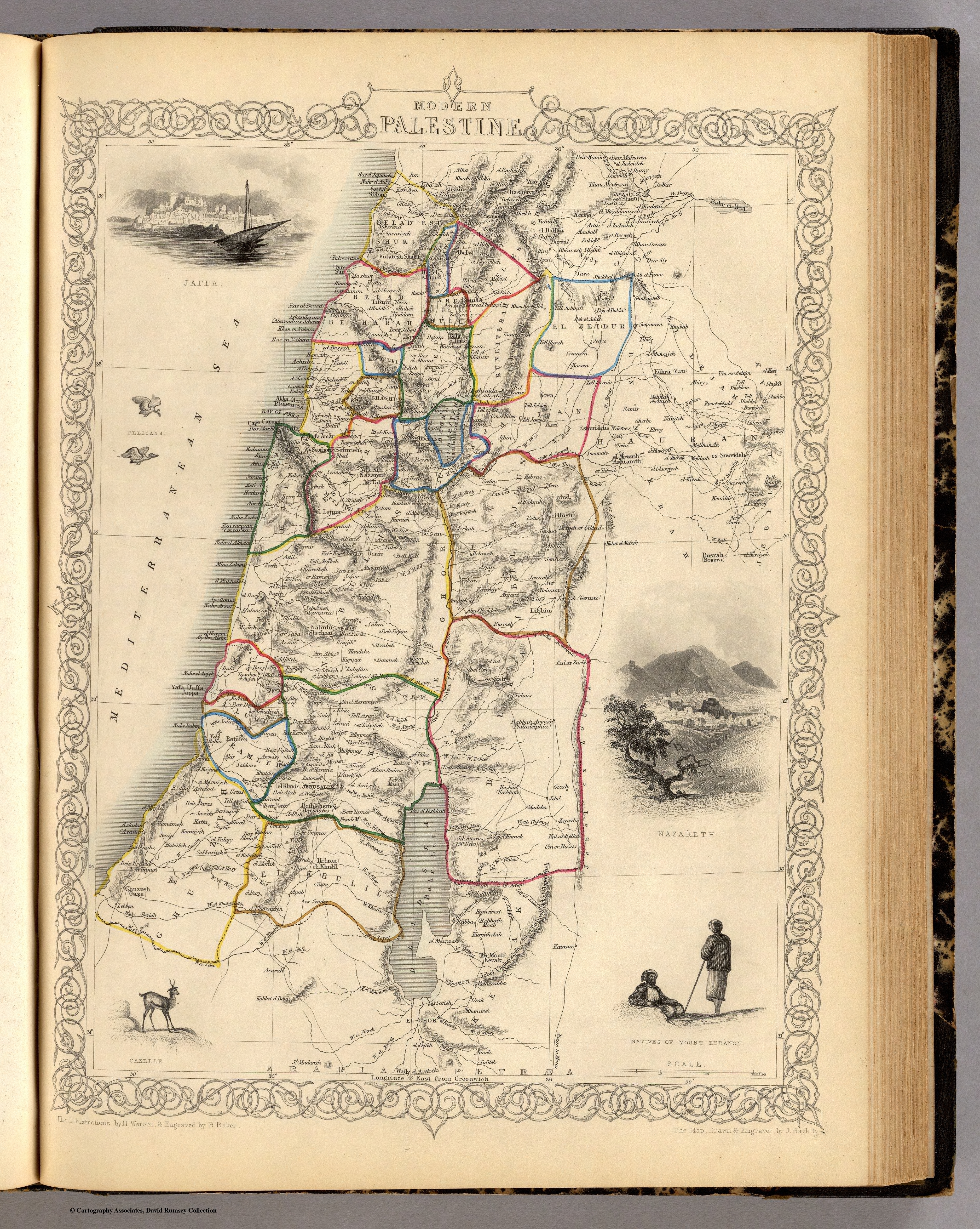
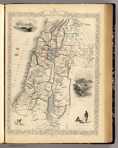
Image: Modern Palestine, Illustrated atlas, and modern history of the World, 1851
Size of this preview: 478 × 599 pixels. Other resolutions: 191 × 240 pixels | 3,750 × 4,700 pixels.
Original image (3,750 × 4,700 pixels, file size: 16.01 MB, MIME type: image/jpeg)
Description: Map of Ottoman Palestine in 1851, from the The Illustrated Atlas, And Modern History Of The World Geographical, Political, Commercial & Statistical, Edited By R. Montgomery Martin
Title: Modern Palestine, Illustrated atlas, and modern history of the World, 1851
Credit: The Illustrated Atlas, and Modern History of the World, Geographical, Political, Commercial & Statistical
Author: Robert Montgomery Martin. Maps drawn and engraved by J. Rapkin, H. Warren, J. Rogers, J. & F. Tallis.
Usage Terms: Public domain
License: Public domain
Attribution Required?: No
Image usage
The following page links to this image:

All content from Kiddle encyclopedia articles (including the article images and facts) can be freely used under Attribution-ShareAlike license, unless stated otherwise.