
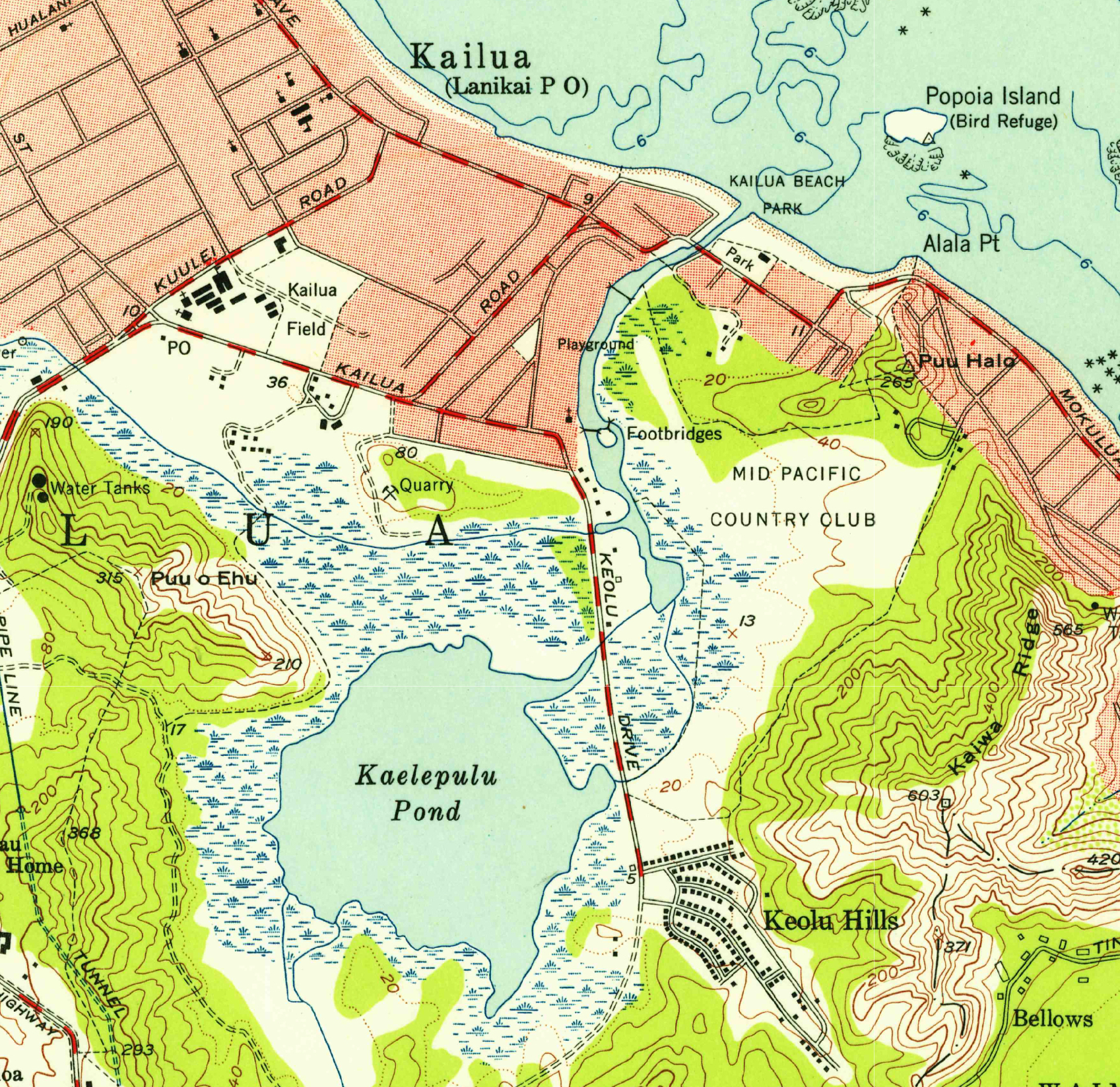
Image: Mokapu Quadrangle 1952 map (Kaʻelepulu detail)
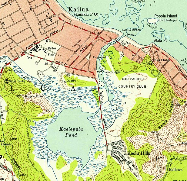
Size of this preview: 617 × 599 pixels. Other resolutions: 247 × 240 pixels | 1,697 × 1,648 pixels.
Original image (1,697 × 1,648 pixels, file size: 4.01 MB, MIME type: image/jpeg)
Description: A 1952 USGS map of the Mokapu Quadrangle (Kailua). Includes Kawainui Marsh, Kaʻelepulu Pond, and the site of what is now Kailua Town (largely shaded in red).
Title: Mokapu Quadrangle 1952 map (Kaʻelepulu detail)
Credit: https://store.usgs.gov/map-locator – Mokapu Quadrangle, 1952
Author: United States Geological Survey
Usage Terms: Public domain
License: Public domain
Attribution Required?: No
Image usage
The following page links to this image:

All content from Kiddle encyclopedia articles (including the article images and facts) can be freely used under Attribution-ShareAlike license, unless stated otherwise.
.jpg)