
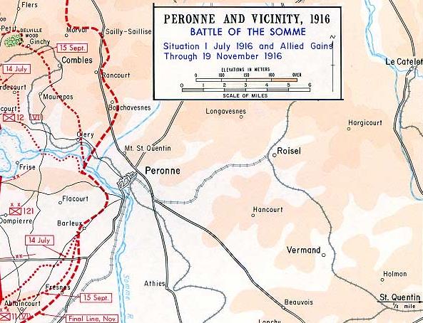
Image: MontStQuentinMap1916
No higher resolution available.
MontStQuentinMap1916.jpg (593 × 454 pixels, file size: 66 KB, MIME type: image/jpeg)
Description: Map of Péronne (Somme) in 1916 showing Mont St Quentin
Title: MontStQuentinMap1916
Credit: detail from Commons image Image:Worldwari map13 largerview.jpg
Author: Department of History at the United States Military Academy
Usage Terms: Public domain
License: Public domain
Attribution Required?: No
Image usage
The following 3 pages link to this image:

All content from Kiddle encyclopedia articles (including the article images and facts) can be freely used under Attribution-ShareAlike license, unless stated otherwise.