
Image: Moro rebel camps
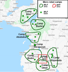
Size of this preview: 567 × 600 pixels. Other resolutions: 227 × 240 pixels | 732 × 774 pixels.
Original image (732 × 774 pixels, file size: 109 KB, MIME type: image/png)
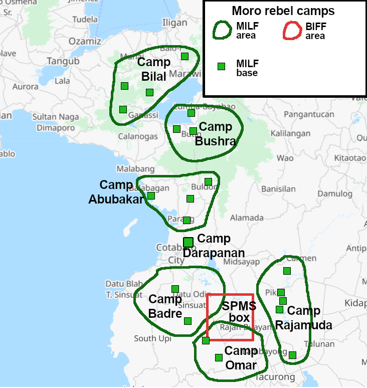
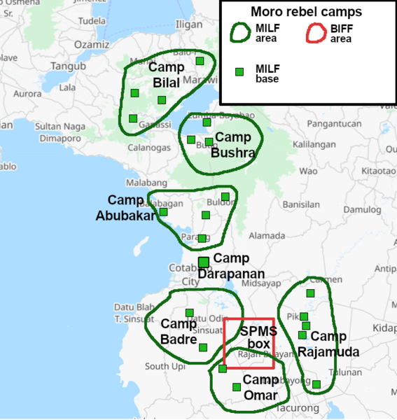
Description: Map of Moro insurgent camp in Philippines at the time of ceasefire
Title: Moro rebel camps
Credit: Own work, based on: Mindanao Trust Fund Reconstruction and Development Project, page 12 Open Data for the Bangsamoro Transition: Practical notes on using geospatial and statistical data for decision-making, page 16
Author: User:BorysMapping
Permission: I, the copyright holder of this work, hereby publish it under the following license:
Usage Terms: Creative Commons Attribution-Share Alike 4.0
License: CC BY-SA 4.0
License Link: https://creativecommons.org/licenses/by-sa/4.0
Attribution Required?: Yes
Image usage
The following page links to this image:

All content from Kiddle encyclopedia articles (including the article images and facts) can be freely used under Attribution-ShareAlike license, unless stated otherwise.