
Image: NPennines
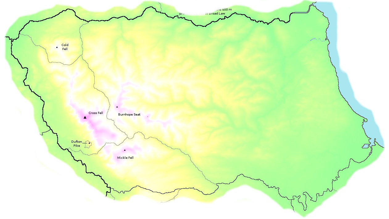
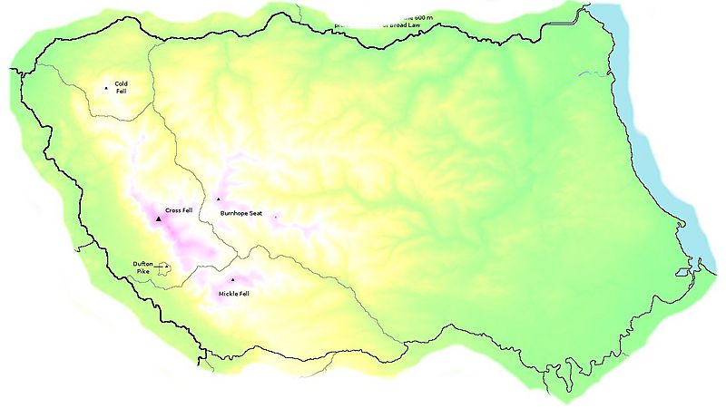
Description: Map of Marilyn (150 m prominence peaks) cells in the North Pennines.
Title: NPennines
Credit: ras52's website The base map was generated using the public domain SRTM 3" digital elevation model. The background shading and cell boundaries were done using C++ code written by ras52. Some coast lines and cell boundaries were sanity-checked using OpenStreetMap. The list of peaks is already on Wikipedia. The map is in an equirectangular projection with a standard parallel of 54°26'N and a scale of 3" latitude per pixel.
Author: Original image by ras52; modifications by Mark J
Usage Terms: Creative Commons Attribution 2.0
License: CC BY 2.0
License Link: https://creativecommons.org/licenses/by/2.0
Attribution Required?: Yes
Image usage
The following page links to this image:
