
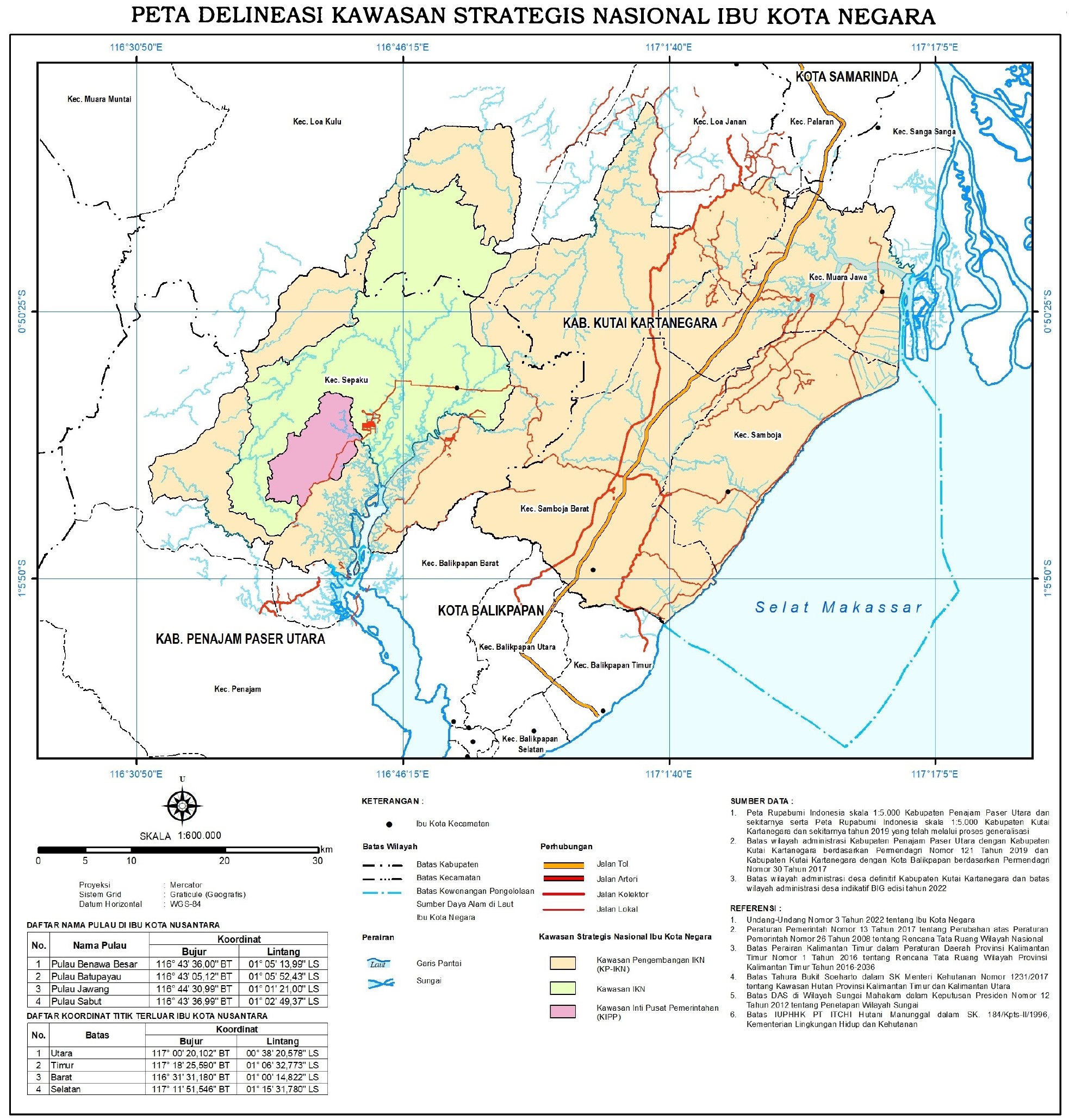
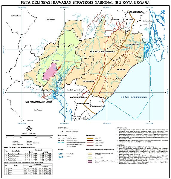
Image: National Strategic Areas of the State Capital City delineation map (2023)
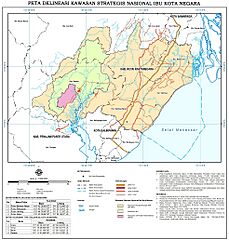
Size of this preview: 572 × 599 pixels. Other resolutions: 229 × 240 pixels | 1,966 × 2,060 pixels.
Original image (1,966 × 2,060 pixels, file size: 849 KB, MIME type: image/jpeg)
Description: The planned area of the Capital City of Nusantara superimposed on contemporary borders of Kutai Kartanegara Regency and Penajam North Paser Regency, East Kalimantan Province. Notes: Pink area denotes the Government quarter, green area denotes the Capital Region, orange area denotes the Extended Capital Region, blue area bordered by blue dotted line denotes the Capital marine zone
Usage Terms: Public domain
Image usage
The following page links to this image:

All content from Kiddle encyclopedia articles (including the article images and facts) can be freely used under Attribution-ShareAlike license, unless stated otherwise.
.jpg)