
Image: Near Browns Bay, Islandmagee - geograph.org.uk - 172680
No higher resolution available.
Near_Browns_Bay,_Islandmagee_-_geograph.org.uk_-_172680.jpg (640 × 426 pixels, file size: 169 KB, MIME type: image/jpeg)
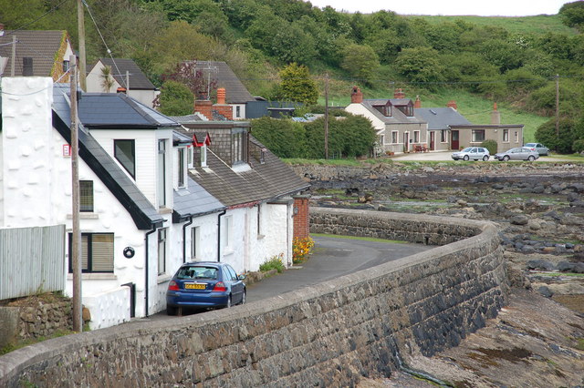
Description: Near Browns Bay, Islandmagee. The coast between Brown's Bay and Ferris Bay (often called "Ferris's Bay") includes a few houses in a cul-de-sac overlooking the North Channel. It is one of several bays in northern Islandmagee. The local name is "English's Port" which is not shown on the OS map.
Title: Near Browns Bay, Islandmagee - geograph.org.uk - 172680
Credit: From geograph.org.uk
Author: Aubrey Dale
Usage Terms: Creative Commons Attribution-Share Alike 2.0
License: CC BY-SA 2.0
License Link: https://creativecommons.org/licenses/by-sa/2.0
Attribution Required?: Yes
Image usage
The following page links to this image:

All content from Kiddle encyclopedia articles (including the article images and facts) can be freely used under Attribution-ShareAlike license, unless stated otherwise.