
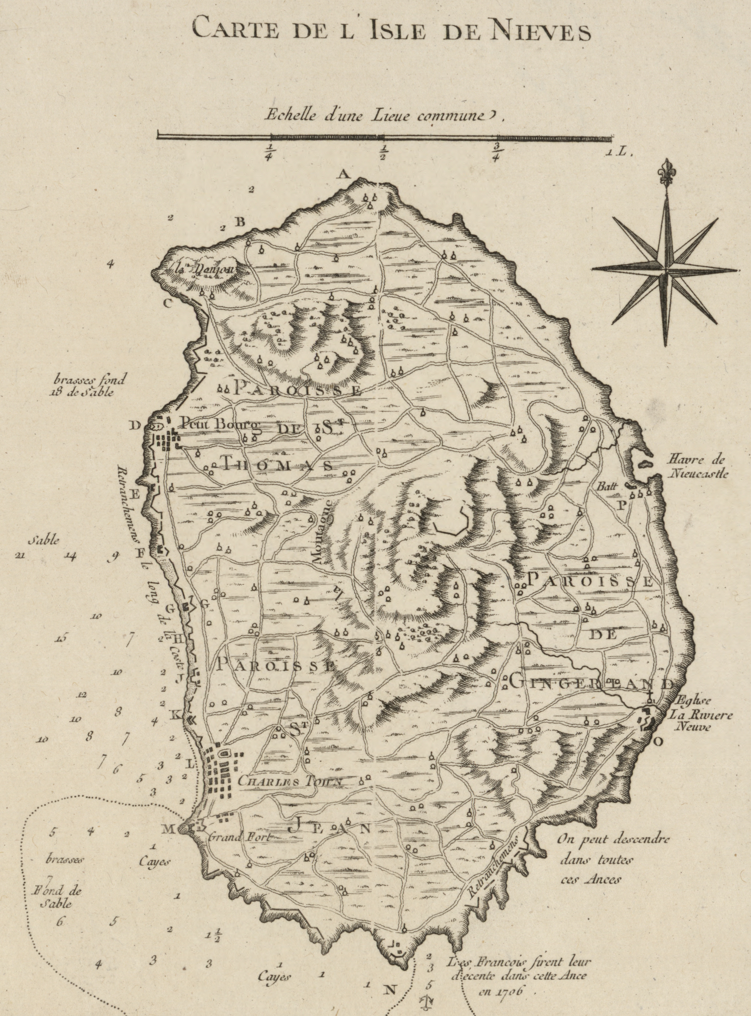
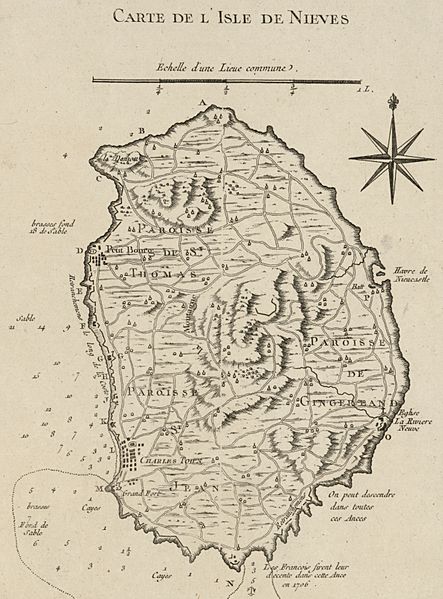
Image: Nevis historical map - 01
Description: Nevis historical map Title: Carte de l'isle de Nieves. Contributor Names: Bellin, Jacques Nicolas, 1703-1772. Created / Published: Paris, 1764 Notes: Scale ca. 1:50,000. Relief shown by hachures. Depths shown by soundings. "Tome I, no. 84." From the author's Le petit atlas maritime. 1764. LC Maps of North America, 1750-1789, 1995 Available also through the Library of Congress Web site as a raster image. Vault AACR2 Medium: map 22 x 16 cm. Call Number: G5042.N4 1764 .B4 Repository: Library of Congress Geography and Map Division Washington, D.C. 20540-4650 USA dcu Digital Id: http://hdl.loc.gov/loc.gmd/g5042n.ar199500 Library of Congress Catalog Number: 74691008
Title: Nevis historical map - 01
Credit: https://www.loc.gov/item/74691008/
Author: Library of Congress, Geography and Map Division.
Usage Terms: Public domain
License: Public domain
Attribution Required?: No
Image usage
The following page links to this image:
