
Image: New-Map-Francophone World

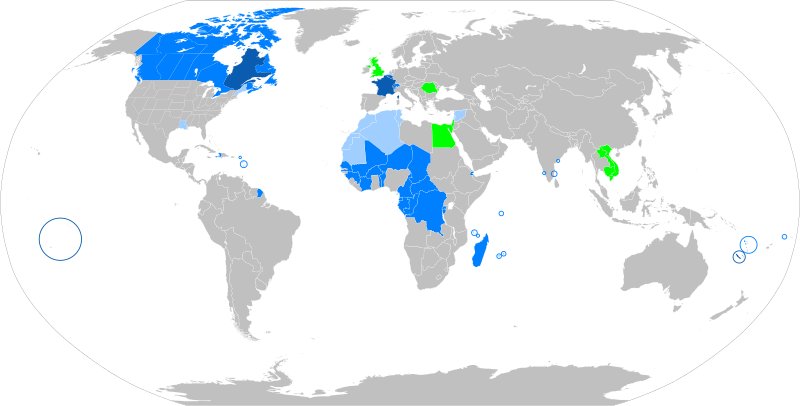
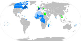
Description: The French language in the world States where French is the majority native language States where it is an official or administrative language States where it is a minority or secondary language States that have a local francophone minority The following things have been changed from the old "Map-Francophone World.png": Vietnam, Cambodia and Laos are no longer colored in light blue, this is because French is not used there very much these days. Mauritania, Morocco, Algeria, and Tunisia have been colored light blue, because the French language is widely used. There are even more French speakers in those countries where French is the official language. The Western Sahara has been colored light blue, due to the increased use of French there. <--Do we have a ref for this? A green square has been added in London to recognize the French-speaking minority there.
Title: Map-Francophone World
Credit: Own work
Author: aaker (original PNG file: https://commons.wikimedia.org/wiki/File:New-Map-Francophone_World.PNG )
Usage Terms: Creative Commons Attribution-Share Alike 4.0
License: CC BY-SA 4.0
License Link: https://creativecommons.org/licenses/by-sa/4.0
Attribution Required?: Yes
Image usage
The following image is a duplicate of this image (more details):
The following page links to this image:
