
Image: NewJerseyForageWar
Size of this preview: 800 × 494 pixels. Other resolutions: 320 × 198 pixels | 923 × 570 pixels.
Original image (923 × 570 pixels, file size: 446 KB, MIME type: image/png)
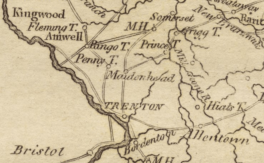
Description: An extract of an 1806 map of New Jersey, depicting the area around New Brunswick and Trenton. Cropped, color contrast adjusted. This area was the site of numerous skirmishes in early 1777 during the American Revolutionary War.
Title: NewJerseyForageWar
Credit: http://maps.bpl.org/details_12444/?mtid=98 (call number G1200 .C37 1806)
Author: Matthew Carey
Usage Terms: Public domain
License: Public domain
Attribution Required?: No
Image usage
The following 2 pages link to this image:

All content from Kiddle encyclopedia articles (including the article images and facts) can be freely used under Attribution-ShareAlike license, unless stated otherwise.