
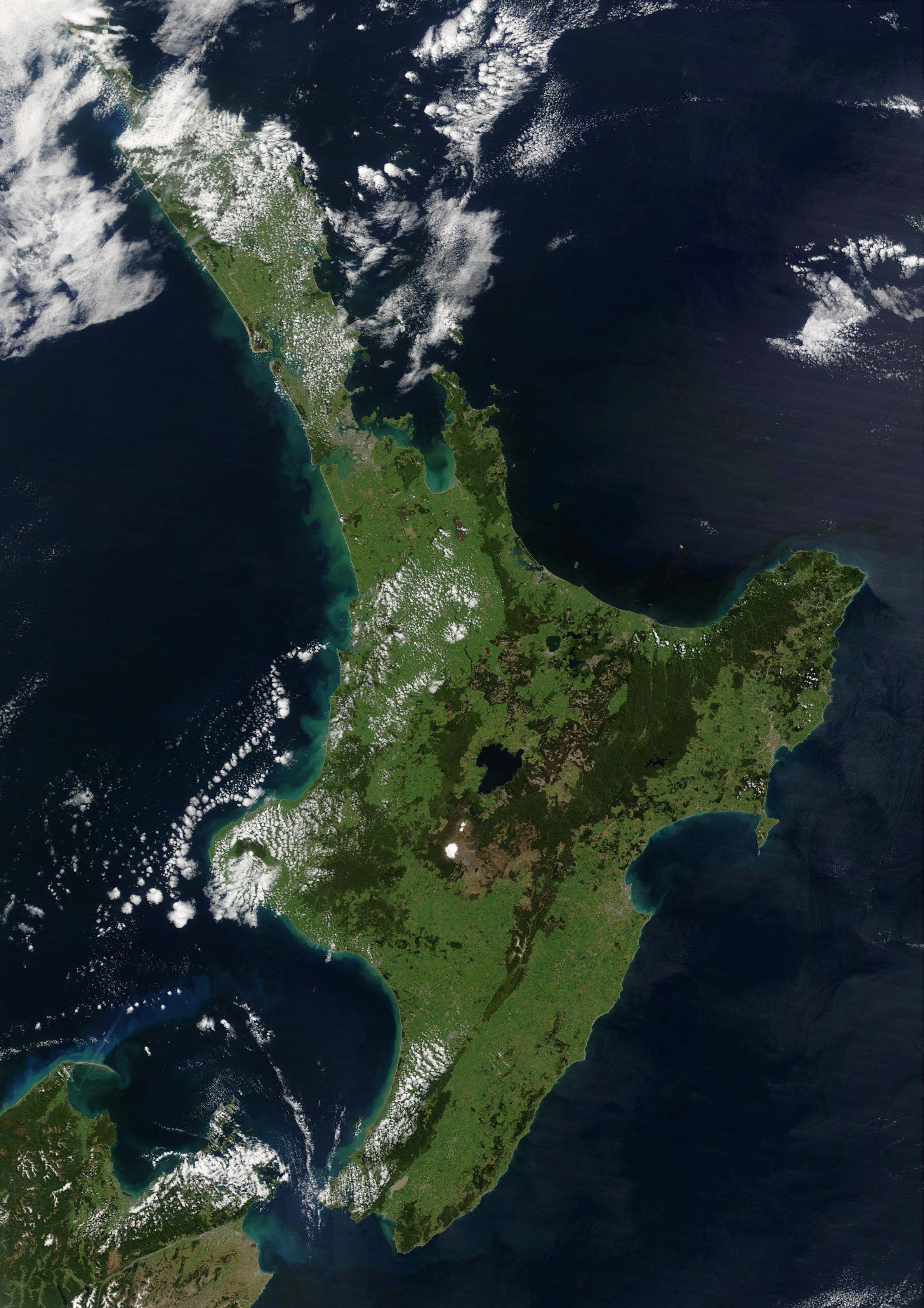
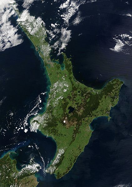
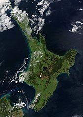
Image: NewZealand.A2002296.2220.250m North Island crop
Description: This satellite image of New Zealand's North Island has been cropped from an image of both of New Zealand's main islands. "This stunning true-color image provides a rare, cloud-free look at the island nation of New Zealand, including most of its North and South Islands. This scene was acquired by the Moderate Resolution Imaging Spectroradiometer (MODIS), flying aboard NASA’s Terra satellite, on October 23, 2002. New Zealand is situated in the South Pacific Ocean, roughly 2,000 km (1,250 miles) southeast of Australia. Wellington, the capital of New Zealand, is located on the southern tip of the North Island, looking across Cook Strait toward South Island." Description at NASA's Earth Observatory Image of the Day website Description at NASA's Visible Earth website
Title: NewZealand.A2002296.2220.250m North Island crop
Credit: http://lance-modis.eosdis.nasa.gov/cgi-bin/imagery/single.cgi?image=NewZealand.A2002296.2220.250m.jpg
Author: Jacques Descloitres, MODIS Land Rapid Response Team at NASA GSFC
Usage Terms: Public domain
License: Public domain
Attribution Required?: No
Image usage
The following page links to this image:
