
Image: New Albany Shale (Upper Devonian; MacDonald Knob Outcrop, Bullitt County, Kentucky, USA) 11 (44085616790)
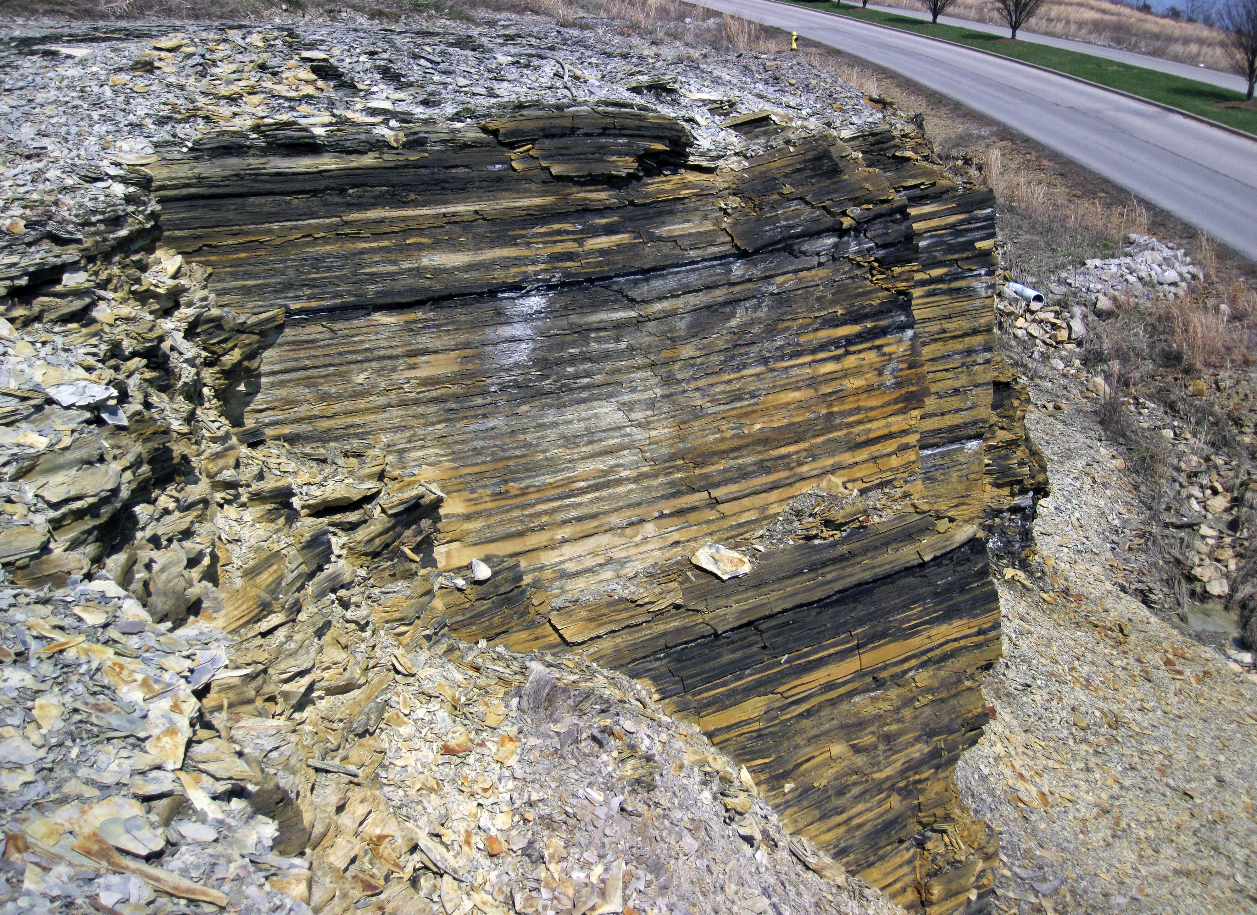
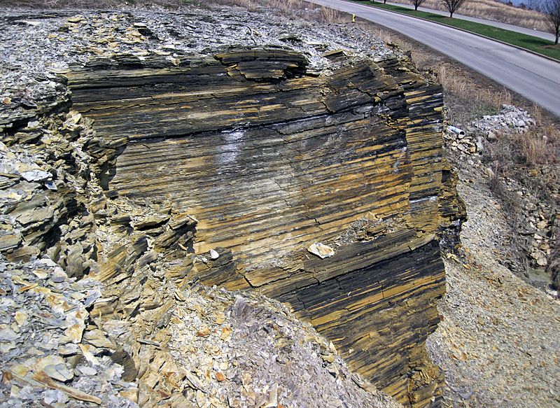
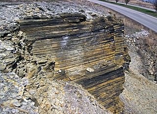
Description: Shales in the Devonian of Kentucky, USA. This weathered black shale outcrop is part of the New Albany Shale of Kentucky and Indiana. The unit consists of dark-colored, chippy-weathering, marine mudshales of Late Devonian age. These black shales were deposited in a moderately deep, anoxic seafloor environment. This was a widespread lithofacies during the Late Devonian's Global Anoxia Event. The New Albany Shale is equivalent to the Ohio Shale, the Antrim Shale, and the Chattanooga Shale in surrounding states. Stratigraphy: New Albany Shale, Upper Devonian Locality: MacDonald Knob Outcrop - roadcut along side road, west of the interstate, between Shepherdsville & the southern outskirts of Louisville, Bullitt County, Kentucky, USA (38° 00’ 44.51” North latitude, 85° 41’ 59.51” West longitude)
Title: New Albany Shale (Upper Devonian; MacDonald Knob Outcrop, Bullitt County, Kentucky, USA) 11 (44085616790)
Credit: New Albany Shale (Upper Devonian; MacDonald Knob Outcrop, Bullitt County, Kentucky, USA) 11
Author: James St. John
Usage Terms: Creative Commons Attribution 2.0
License: CC BY 2.0
License Link: https://creativecommons.org/licenses/by/2.0
Attribution Required?: Yes
Image usage
The following page links to this image:

_11_(44085616790).jpg)