
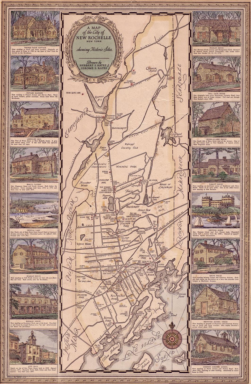
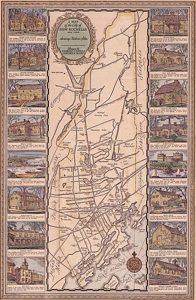
Image: New Rochelle Map 1918
Size of this preview: 392 × 600 pixels. Other resolutions: 157 × 240 pixels | 1,063 × 1,627 pixels.
Original image (1,063 × 1,627 pixels, file size: 615 KB, MIME type: image/jpeg)
Description: Scanned image from a 1918 illustrated map of New Rochelle and historical sites within the town
Title: New Rochelle Map 1918
Credit: Herbert S. Kates and Jerome S. Kates
Author: Yuckycurry
Usage Terms: Public domain
License: Public domain
Attribution Required?: No
Image usage
There are no pages that link to this image.

All content from Kiddle encyclopedia articles (including the article images and facts) can be freely used under Attribution-ShareAlike license, unless stated otherwise.