
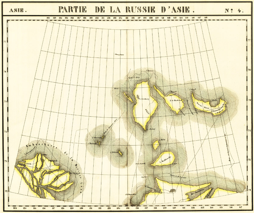
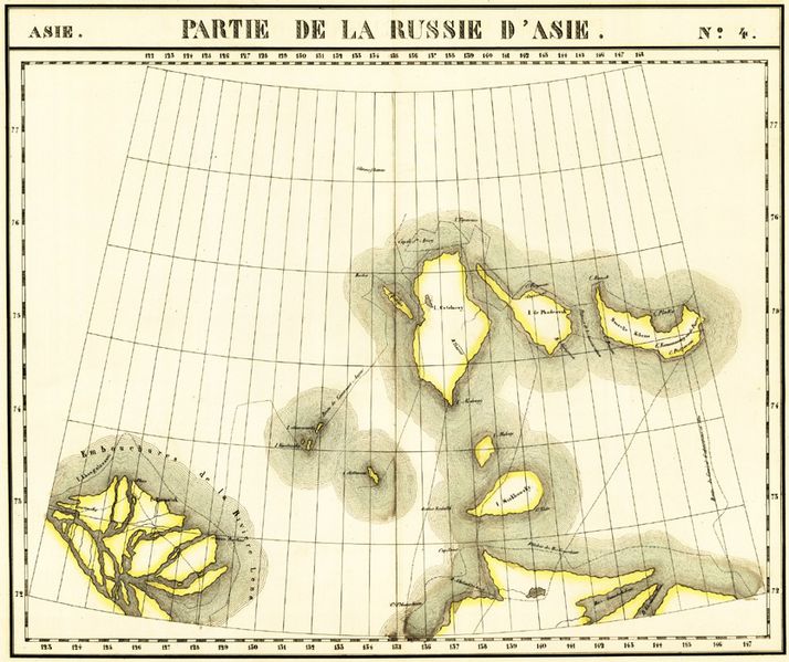
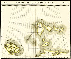
Image: New Siberian Islands ca.1820-th map
Size of this preview: 714 × 599 pixels. Other resolutions: 286 × 240 pixels | 834 × 700 pixels.
Original image (834 × 700 pixels, file size: 199 KB, MIME type: image/jpeg)
Description: Philippe Vandermaelen(1791-1869) map "de la Russie d'Asie"
Title: New Siberian Islands ca.1820-th map
Credit: http://www.old-rus-maps.ru/1/i/0120.JPG
Author: Philippe Vandermaelen
Usage Terms: Public domain
License: Public domain
Attribution Required?: No
Image usage
The following page links to this image:

All content from Kiddle encyclopedia articles (including the article images and facts) can be freely used under Attribution-ShareAlike license, unless stated otherwise.