
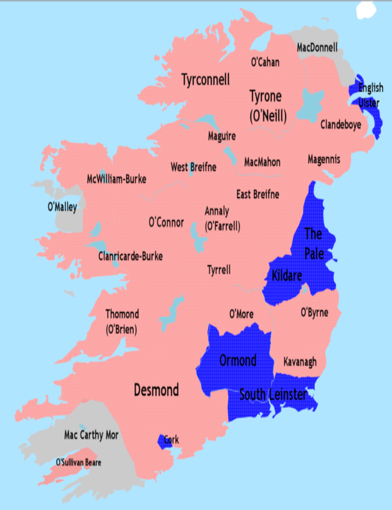
Image: Nine Years War January1600
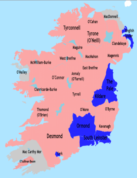
Size of this preview: 460 × 600 pixels. Other resolutions: 184 × 240 pixels | 794 × 1,035 pixels.
Original image (794 × 1,035 pixels, file size: 129 KB, MIME type: image/png)
Description: Map of Ireland in early 1600 at the height of rebel control during the Nine Years' War. Blue: Allied with or largely occupied by England Red: Allied with or largely occupied by Irish Rebels Grey: Remained officially neutral
Title: Nine Years War January1600
Credit: Own work
Author: Jacobfrid
Usage Terms: Creative Commons Attribution-Share Alike 4.0
License: CC BY-SA 4.0
License Link: https://creativecommons.org/licenses/by-sa/4.0
Attribution Required?: Yes
Image usage
The following page links to this image:

All content from Kiddle encyclopedia articles (including the article images and facts) can be freely used under Attribution-ShareAlike license, unless stated otherwise.