
Image: OS map Hampton-on-Sea 1898 002
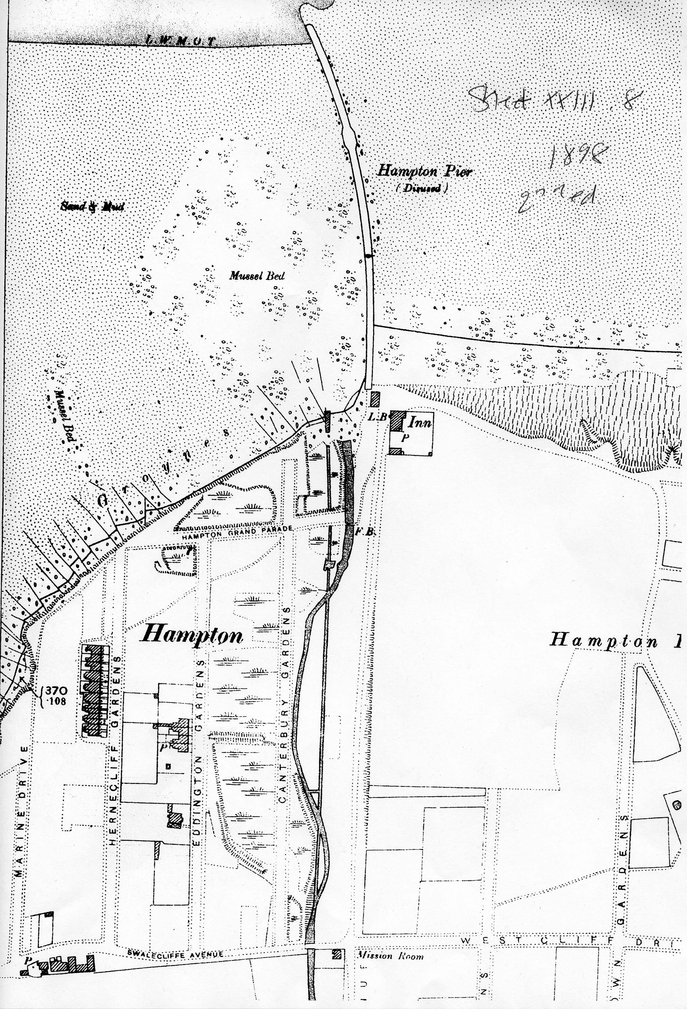
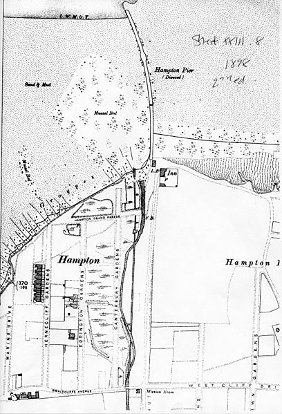
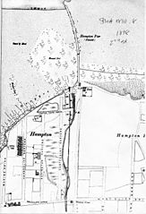
Description: Part of 1898 OS map XXIII.8 (2nd ed) of Hampton-on-Sea in East Kent, England, showing development by the Land Company of seven terraced villas additional to those already built by the oyster fishery plus Pleasant Cottage, in Swalecliffe Avenue. Compared with the above 1872 OS map, this map shows a further stage of coastal erosion initiated by the construction of the pier in 1865. The high water level on the north coast to the east of the pier is moving north as the beach material mounts up; the coastline to the west of the pier is being eroded away and is moving south. For progression of building and erosion, compare this map with: File:OS map Hampton 1872 004.jpg File:OS map Hampton 1878 114.jpg File:Hampton 1978 001b.jpg
Title: OS map Hampton-on-Sea 1898 002
Credit: Scan of photocopy of original map
Author: Ordnance Survey
Permission: copyright expired
Usage Terms: Public domain
License: Public domain
Attribution Required?: No
Image usage
The following page links to this image:
