
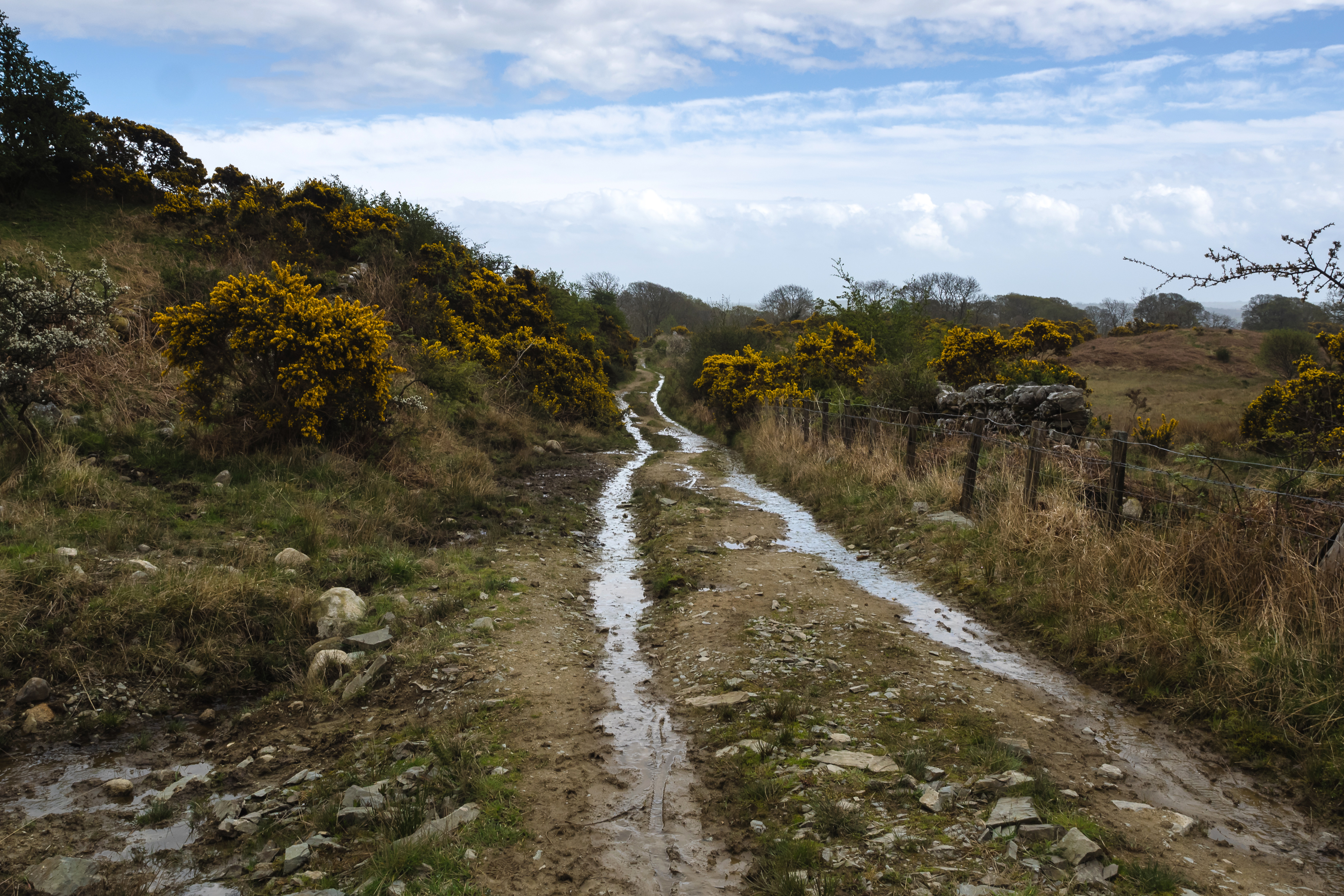
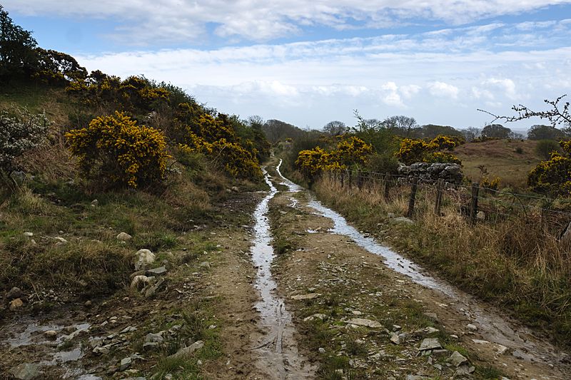
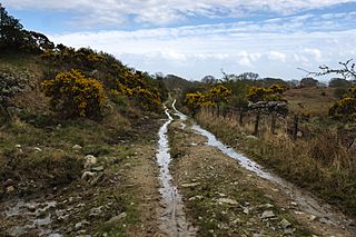
Image: Old Military Road near Anwoth (geograph 4471561)
Size of this preview: 800 × 533 pixels. Other resolutions: 320 × 213 pixels | 4,458 × 2,972 pixels.
Original image (4,458 × 2,972 pixels, file size: 5.42 MB, MIME type: image/jpeg)
Description: Old Military Road near Anwoth
Title: Old Military Road near Anwoth (geograph 4471561)
Credit: From geograph.org.uk
Author: David Baird
Permission: Creative Commons Attribution Share-alike license 2.0
Usage Terms: Creative Commons Attribution-Share Alike 2.0
License: CC BY-SA 2.0
License Link: https://creativecommons.org/licenses/by-sa/2.0
Attribution Required?: Yes
Image usage
The following page links to this image:

All content from Kiddle encyclopedia articles (including the article images and facts) can be freely used under Attribution-ShareAlike license, unless stated otherwise.
.jpg)