
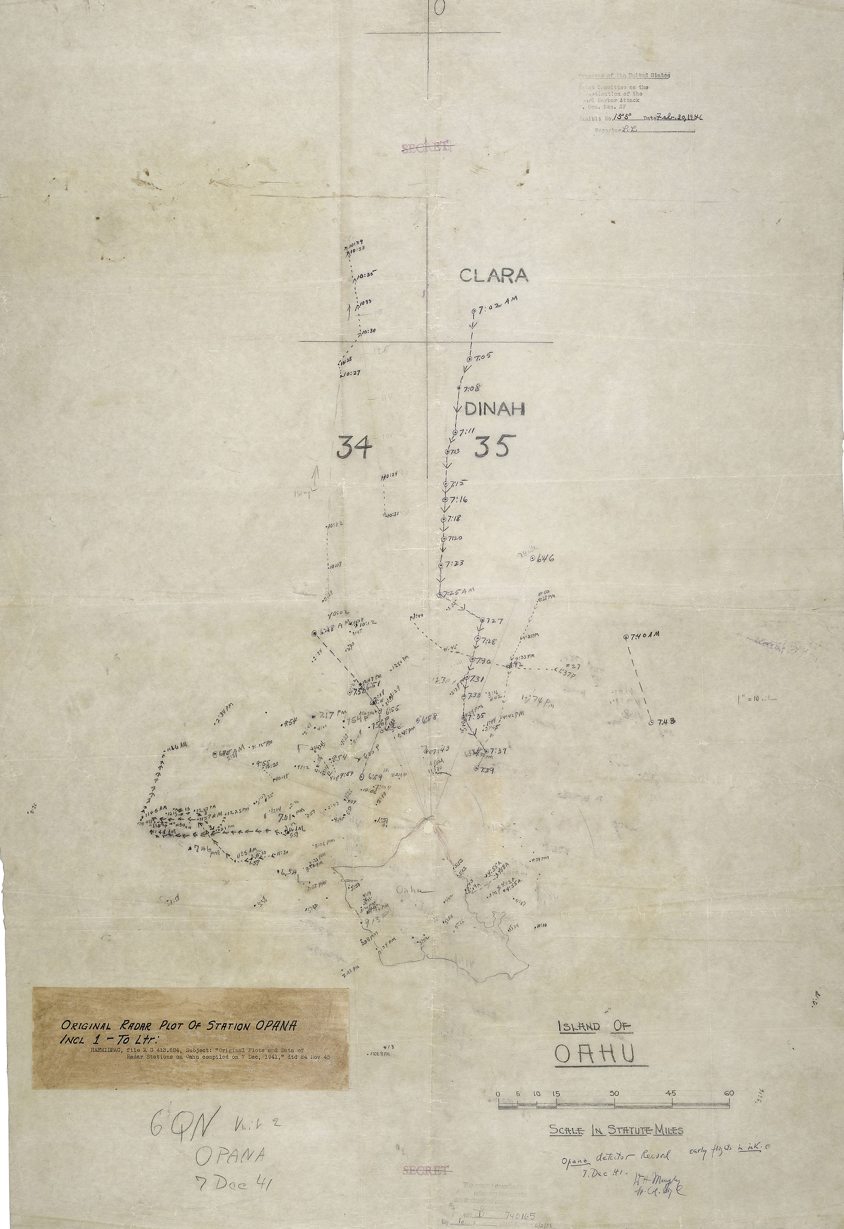
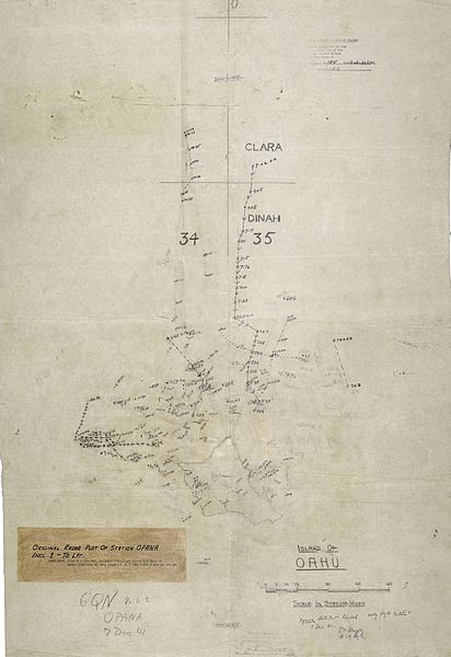
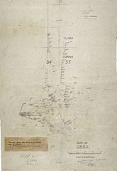
Image: Opana Radar Original Plot Dec 7, 1941
Size of this preview: 412 × 600 pixels. Other resolutions: 165 × 240 pixels | 2,841 × 4,137 pixels.
Original image (2,841 × 4,137 pixels, file size: 3.91 MB, MIME type: image/jpeg)
Description: Original radar plot from the morning of December 7, 1941, showing track of Japanese planes en route to attack Pearl Harbor. Created at the w:SCR-270 radar site at Opana, on the northern tip of Oahu, Hawaii.
Title: Opana Radar Original Plot Dec 7, 1941
Credit: https://www.nps.gov/valr/learn/historyculture/opana-mobile-radar-site.htm
Author: US Army Privates Joseph Lockard and George Elliott, plus others
Usage Terms: Public domain
License: Public domain
Attribution Required?: No
Image usage
The following page links to this image:

All content from Kiddle encyclopedia articles (including the article images and facts) can be freely used under Attribution-ShareAlike license, unless stated otherwise.