
Image: Oregon map with national inset
No higher resolution available.
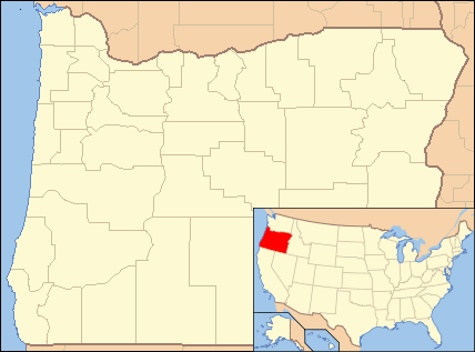
Oregon_map_with_national_inset.png (428 × 317 pixels, file size: 26 KB, MIME type: image/png)
Description: Composite map showing the U.S. state of Oregon and its location within the U.S.
Title: Oregon map with national inset
Credit: File:Oregon Locator Map.PNG and File:Map of USA OR.svg. Base maps from U.S. Census site here
Author: U.S. Census and User:Ruhrfisch for Oregon locator; User:Huebi for U.S. map highlighting Oregon. Composite by User:Finetooth
Usage Terms: Public domain
License: Public domain
Attribution Required?: No
Image usage
There are no pages that link to this image.

All content from Kiddle encyclopedia articles (including the article images and facts) can be freely used under Attribution-ShareAlike license, unless stated otherwise.