
Image: Paintsville, Kentucky map
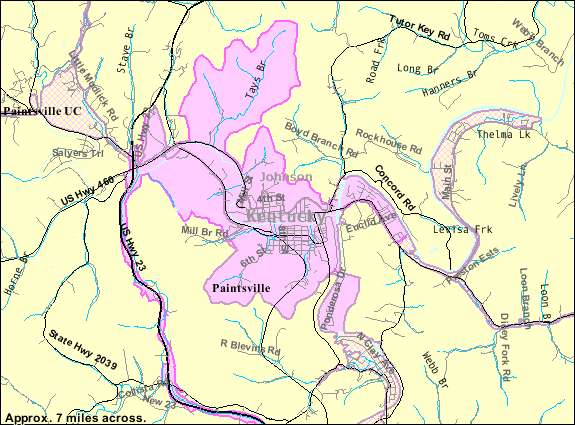
Description: U.S. Census map of Paintsville, Kentucky.
Title: Paintsville, Kentucky map
Credit: American Factfinder - Reference Maps http://factfinder.census.gov/servlet/ReferenceMapFramesetServlet?_bm=y&-_pan=&-PANEL_ID=rm_result&-_MapEvent=zoom&-_changeMap=ZoomIn&-_pageY=&-_zoomLevel=4&-_pageX=&-_mapY=&-rm_config=%7Cb=88%7Cl=en%7Ct=420%7Czf=0.0%7Cms=ref_legal_08pep%7Cdw=0.382963345650033%7Cdh=0.22729425398975794%7Cdt=gov.census.aff.domain.map.EnglishMapExtent%7Cif=gif%7Ccx=-82.78039849999999%7Ccy=37.815039999999996%7Czl=5%7Cpz=5%7Cbo=2373:2329:2327:2359:2347:2377%7Cbl=2374:2330:2328:2360:2348:2378%7Cft=2375:2337:2369:2379:2323:2355:2343%7Cfl=2338:2370:2380:2324:2356:2344:2376%7Cg=86000US41240&-_mapX=&-errMsg=&-redoLog=false&-geo_id=86000US41240&-_latitude=&-_lang=en&-_longitude=
Author: U.S. Census Bureau
Usage Terms: Public domain
License: Public domain
Attribution Required?: No
Image usage
The following page links to this image:
