
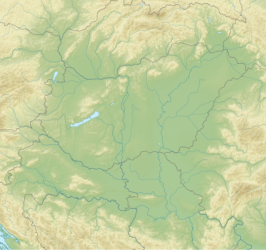
Image: Pannonian Plain relief location map
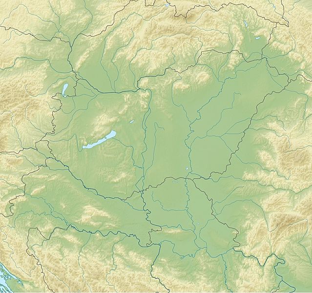
Size of this preview: 639 × 600 pixels. Other resolutions: 256 × 240 pixels | 850 × 798 pixels.
Original image (850 × 798 pixels, file size: 532 KB, MIME type: image/jpeg)
Description: Location map of Pannonian_Plain. Projection: Equirectangular projection, strechted by 145.0%. Geographic limits of the map: N: 49.5° N S: 44.0° N W: 15.0° E E: 23.5° E GMT projection: -JX14.393333333333334cd/13.504333333333333cd GMT region: -R15.0/44.0/23.5/49.5r GMT region for grdcut: -R15.0/44.0/23.5/49.5r Relief: SRTM30plus. Made with Natural Earth. Free vector and raster map data @ naturalearthdata.com.
Title: Pannonian Plain relief location map
Credit: Own work
Author: Uwe Dedering
Usage Terms: Creative Commons Attribution-Share Alike 3.0
License: CC BY-SA 3.0
License Link: http://creativecommons.org/licenses/by-sa/3.0
Attribution Required?: Yes
Image usage
The following page links to this image:

All content from Kiddle encyclopedia articles (including the article images and facts) can be freely used under Attribution-ShareAlike license, unless stated otherwise.