
Image: Pasture at the Viewpoint - geograph.org.uk - 15065
No higher resolution available.
Pasture_at_the_Viewpoint_-_geograph.org.uk_-_15065.jpg (640 × 480 pixels, file size: 387 KB, MIME type: image/jpeg)
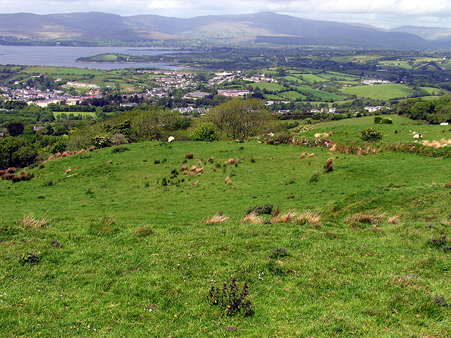
Description: Pasture at the Viewpoint. This field in the foreground is at the viewpoint marked on the map. The town of Bantry is visible in the distance, in the valley. The harbour and town centre is to the far left of the built up area.
Title: Pasture at the Viewpoint - geograph.org.uk - 15065
Credit: From geograph.org.uk
Author: Pam Brophy
Usage Terms: Creative Commons Attribution-Share Alike 2.0
License: CC BY-SA 2.0
License Link: http://creativecommons.org/licenses/by-sa/2.0
Attribution Required?: Yes
Image usage
There are no pages that link to this image.

All content from Kiddle encyclopedia articles (including the article images and facts) can be freely used under Attribution-ShareAlike license, unless stated otherwise.