
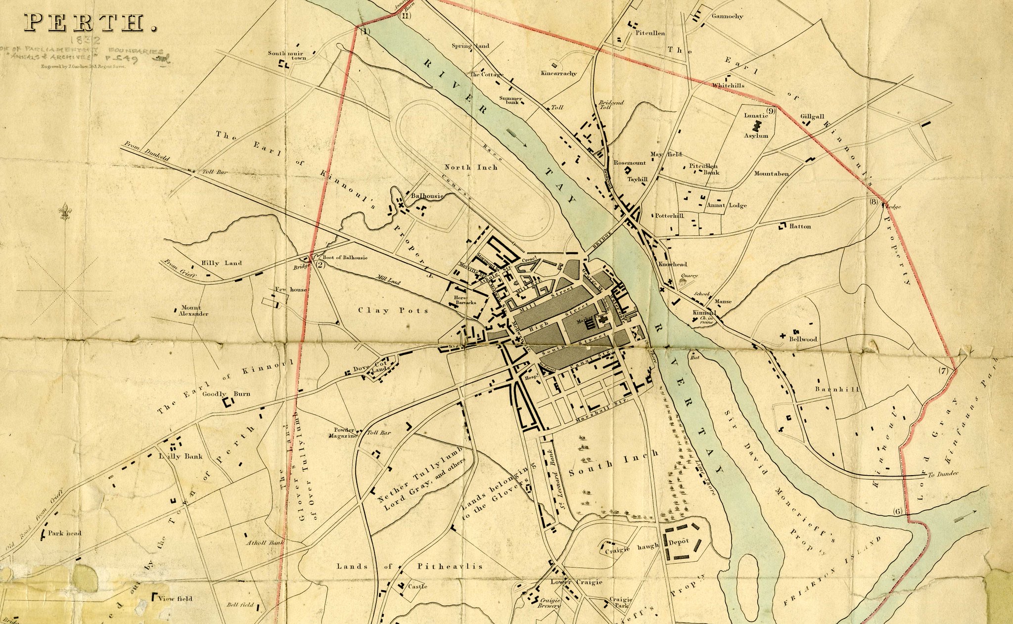
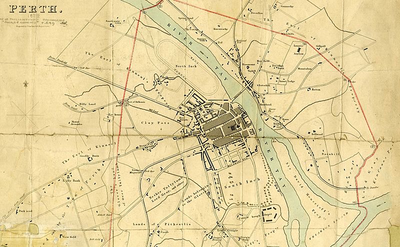
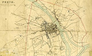
Image: Perth map of 1832
Size of this preview: 800 × 493 pixels. Other resolutions: 320 × 197 pixels | 2,048 × 1,262 pixels.
Original image (2,048 × 1,262 pixels, file size: 896 KB, MIME type: image/jpeg)
Description: Perth map of 1832
Title: Perth map of 1832
Credit: Original publication: "Reports Upon The Boundaries Of The Several Cities, Burghs And Towns In Scotland, In Respect To The Election Of Members To Serve In Parliament" Immediate source: https://twitter.com/CPKArchives/status/1444999248538476545
Author: J. Gardner (Life time: 1808-1840)
Usage Terms: Public domain in the United States
License: PD-US
License Link: //en.wikipedia.org/wiki/File:Perth_map_of_1832.jpg
Image usage
The following page links to this image:

All content from Kiddle encyclopedia articles (including the article images and facts) can be freely used under Attribution-ShareAlike license, unless stated otherwise.