
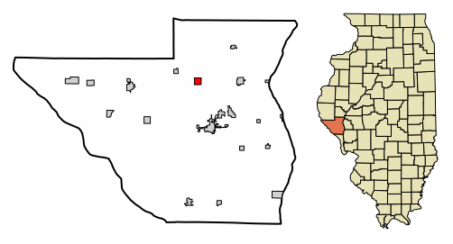
Image: Pike County Illinois Incorporated and Unincorporated areas New Salem Highlighted

Size of this PNG preview of this SVG file: 502 × 271 pixels. Other resolution: 320 × 173 pixels.
Original image (SVG file, nominally 502 × 271 pixels, file size: 404 KB)
Description: My own work, based on public domain information. Based on similar map concepts by w:User:Arkyan This map shows the incorporated and unincorporated areas in Pike County, Illinois, highlighting New Salem in red. It was created from US Census Bureau data with the help of a custom fork of the kartography project, available on Github at
Title: Pike County Illinois Incorporated and Unincorporated areas New Salem Highlighted
Credit: Own work by the original uploader
Author: DemocraticLuntz
Usage Terms: GNU Free Documentation License
License: GFDL
License Link: http://www.gnu.org/copyleft/fdl.html
Attribution Required?: Yes
Image usage
The following page links to this image:

All content from Kiddle encyclopedia articles (including the article images and facts) can be freely used under Attribution-ShareAlike license, unless stated otherwise.