
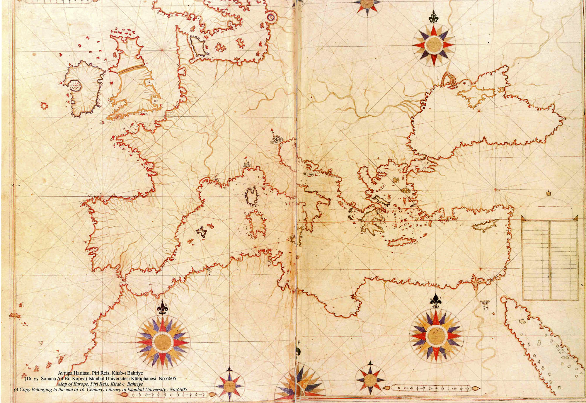
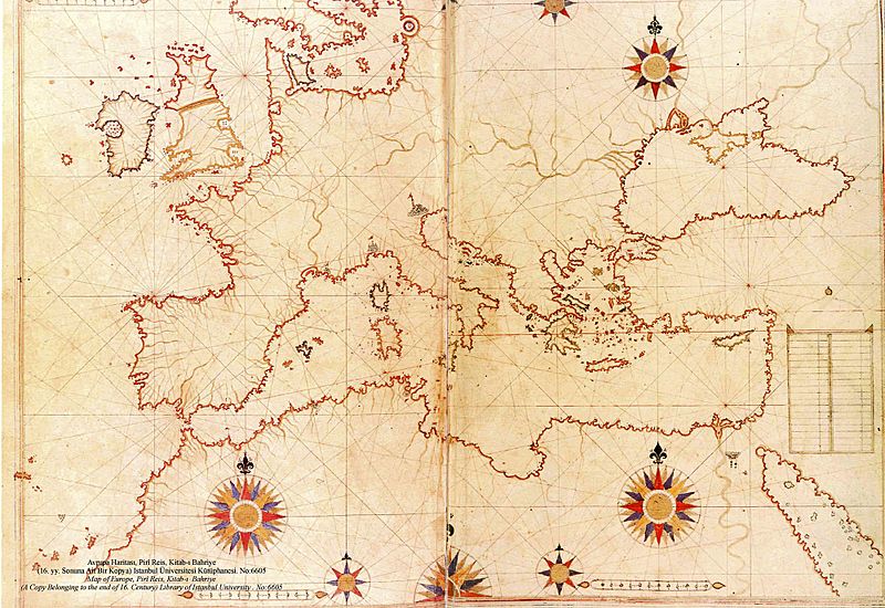
Image: Piri Reis map of Europe and the Mediterranean Sea
Size of this preview: 800 × 550 pixels. Other resolutions: 320 × 220 pixels | 2,000 × 1,375 pixels.
Original image (2,000 × 1,375 pixels, file size: 510 KB, MIME type: image/jpeg)
Description: a late 16th century copy of the 1525 Kitab-ı Bahriye (Book of Navigation) by Piri Reis
Title: Piri Reis map of Europe and the Mediterranean Sea
Credit: Library of Istanbul University. No:6605
Author: Piri Reis (circa 1467 - circa 1554)
Usage Terms: Public domain
License: Public domain
Attribution Required?: No
Image usage
The following page links to this image:

All content from Kiddle encyclopedia articles (including the article images and facts) can be freely used under Attribution-ShareAlike license, unless stated otherwise.