
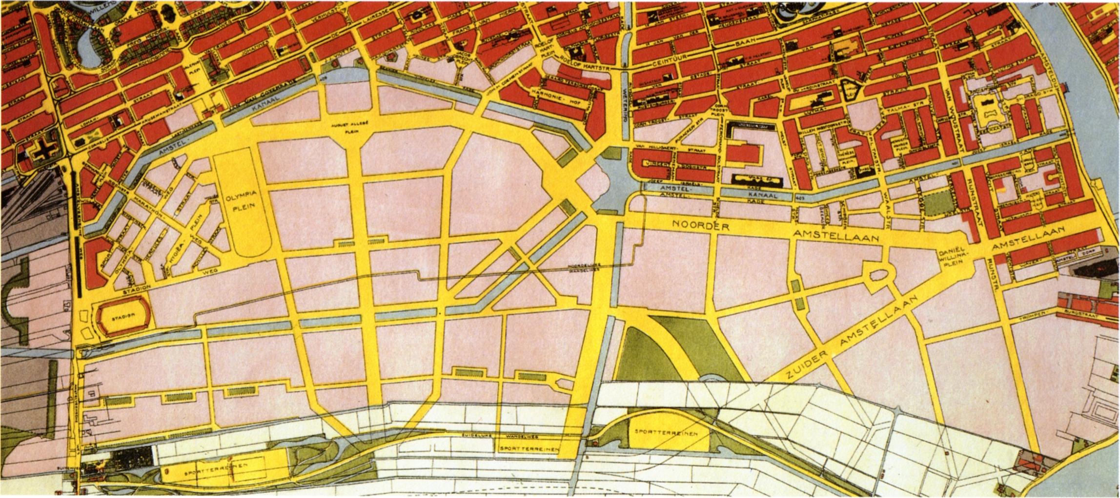
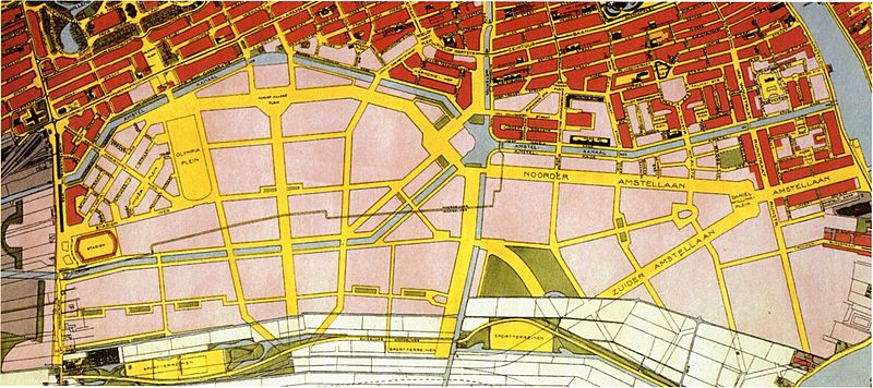
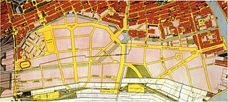
Image: Plattegrond van Amsterdam-Zuid met daarin alle uitgevoerde gebouwen in 1922
Size of this preview: 800 × 356 pixels. Other resolutions: 320 × 143 pixels | 2,295 × 1,022 pixels.
Original image (2,295 × 1,022 pixels, file size: 431 KB, MIME type: image/jpeg)
Description: Plan of Amsterdam-Zuid showing all executed buildings in Plan Zuid in 1922.
Title: Plattegrond van Amsterdam-Zuid met daarin alle uitgevoerde gebouwen in 1922
Credit: Manfred Bock, Vincent van Rossem, Kees Somer. Cornelis van Eesteren, architect, urbanist [volume 1]. Rotterdam: NAi Publishers, Den Haag: EFL Stichting (ISBN 9072469623), p. 137.
Author: Dienst der Publieke Werken (Public Service Department)
Usage Terms: Public domain
License: Public domain
Attribution Required?: No
Image usage
The following page links to this image:

All content from Kiddle encyclopedia articles (including the article images and facts) can be freely used under Attribution-ShareAlike license, unless stated otherwise.