
Image: Point Conception and Gaviota Coast
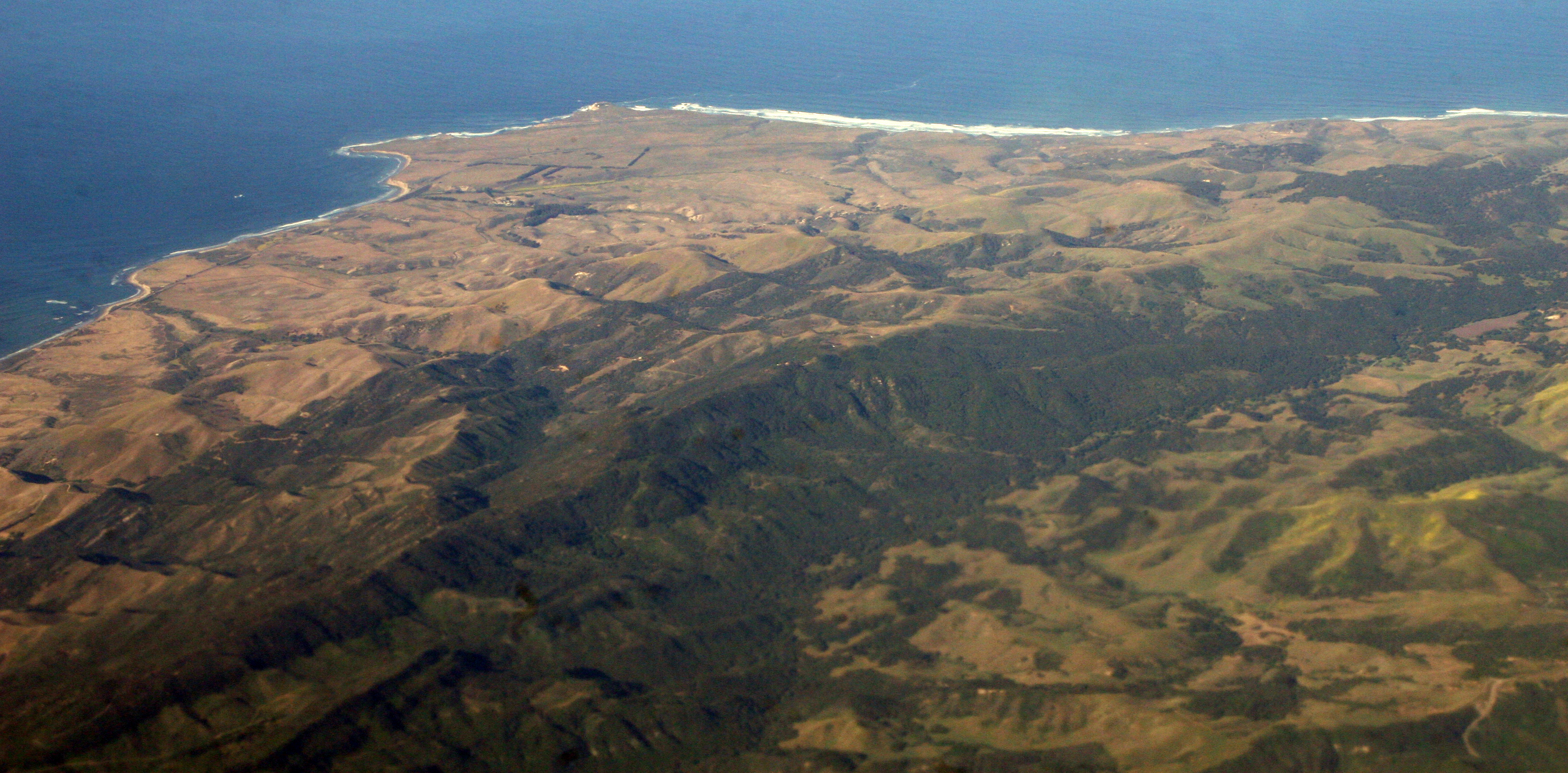
Description: Point Conception, with the Gaviota Coast on the left (south) and Jalama Beach on the right (west). The mountains are the Santa Ynez, and are the western end of a transverse range. From here we are looking at the slanted strata of resistant Eocene rocks that were originally sea floor, far to the south. This end of the mountains were originally by what's now San Diego, and rotated clockwise out into what's now the Pacific, around a pivot point just west of what's now Los Angeles — all while everything was also moving. Som excellent animations of this history can be found at this UCSB site
Title: Point Conception and Gaviota Coast
Credit: 2007_04_24_sba-sfo-lhr_009.JPG
Author: Doc Searls from Santa Barbara, USA
Usage Terms: Creative Commons Attribution-Share Alike 2.0
License: CC BY-SA 2.0
License Link: https://creativecommons.org/licenses/by-sa/2.0
Attribution Required?: Yes
Image usage
The following 2 pages link to this image:
