
Image: Points of sail--English
Size of this preview: 450 × 600 pixels. Other resolutions: 180 × 240 pixels | 720 × 960 pixels.
Original image (720 × 960 pixels, file size: 108 KB, MIME type: image/jpeg)
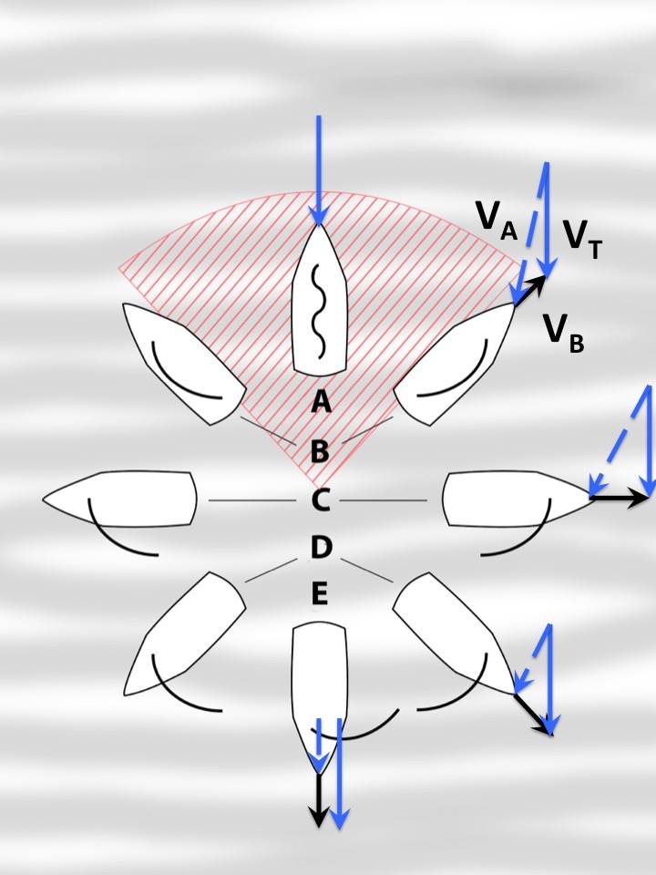
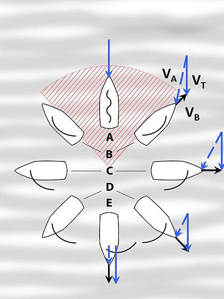
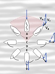
Description: The arrow represents the direction of the wind. The red is the "no sail zone" because it is impossible to sail into the wind. A. No Go Zone — 0-30° B. Close Hauled — 30-50° C. Beam Reach — 90° D. Broad Reach — ~135° E. Running — 180° Vectors are: True Wind (VT)), Boat Speed (VB)), and Apparent Wind (VA)).
Title: Points of sail--English
Credit: https://commons.wikimedia.org/wiki/File:Points_of_sail.svg
Author: User:Andrew c
Usage Terms: Creative Commons Attribution-Share Alike 3.0
License: CC BY-SA 3.0
License Link: https://creativecommons.org/licenses/by-sa/3.0
Attribution Required?: Yes
Image usage
The following page links to this image:

All content from Kiddle encyclopedia articles (including the article images and facts) can be freely used under Attribution-ShareAlike license, unless stated otherwise.