
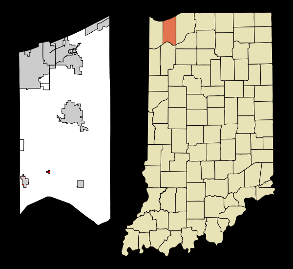
Image: Porter County Indiana Incorporated and Unincorporated areas Boone Grove Highlighted
No higher resolution available.
Porter_County_Indiana_Incorporated_and_Unincorporated_areas_Boone_Grove_Highlighted.png (600 × 550 pixels, file size: 71 KB, MIME type: image/png)
Description: State and County map showing the location of Boone Grove, Indiana
Title: Porter County Indiana Incorporated and Unincorporated areas Boone Grove Highlighted
Credit: Altered version of existing Wiki graphic, 600px-Porter_County_Indiana_Incorporated_and_Unincorporated_areas_Hebron_Highlighted_svg.PNG Transferred from en.wikipedia
Author: Original graphic -Arkyan, altered grphic -CLight
Usage Terms: Creative Commons Attribution-Share Alike 3.0
License: CC BY-SA 3.0
License Link: http://creativecommons.org/licenses/by-sa/3.0
Attribution Required?: Yes
Image usage
The following page links to this image:

All content from Kiddle encyclopedia articles (including the article images and facts) can be freely used under Attribution-ShareAlike license, unless stated otherwise.