
Image: Portland Yamhill HD boundary map
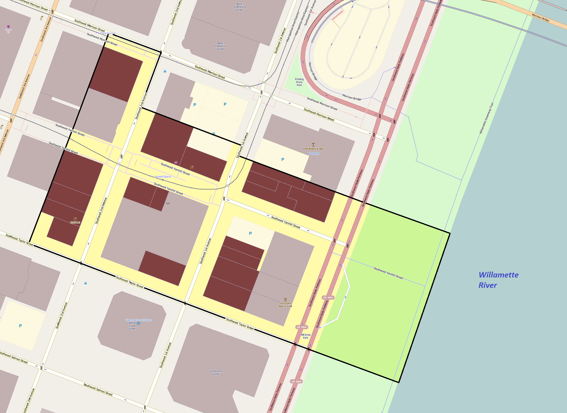
Description: Map showing the boundaries of the Portland Yamhill Historic District in downtown Portland, Oregon, United States. The historic district is listed on the US National Register of Historic Places. Boundary data is derived from the historic district's National Register nomination form. Black boundary/yellow area: Portland Yamhill Historic District boundaries. Maroon shading: Buildings listed as contributing resources in the historic district by the City of Portland (see [1] ).
Title: Portland Yamhill HD boundary map
Credit: Exported screenshot from OpenStreetMap, with district boundaries and shading drawn by uploader.
Author: Base map: OpenStreetMap contributors District boundaries/shading: Ian Poellet (User:Ipoellet)
Permission: Base map: © OpenStreetMap contributors. Current license information available at http://www.openstreetmap.org/copyright.
Usage Terms: Creative Commons Attribution-Share Alike 2.0
License: CC BY-SA 2.0
License Link: https://creativecommons.org/licenses/by-sa/2.0
Attribution Required?: Yes
Image usage
The following page links to this image:
