
Image: Portuguese Malacca map
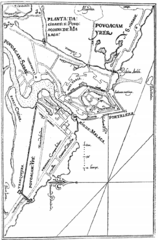
Size of this preview: 395 × 599 pixels. Other resolutions: 158 × 240 pixels | 833 × 1,264 pixels.
Original image (833 × 1,264 pixels, file size: 204 KB, MIME type: image/png)
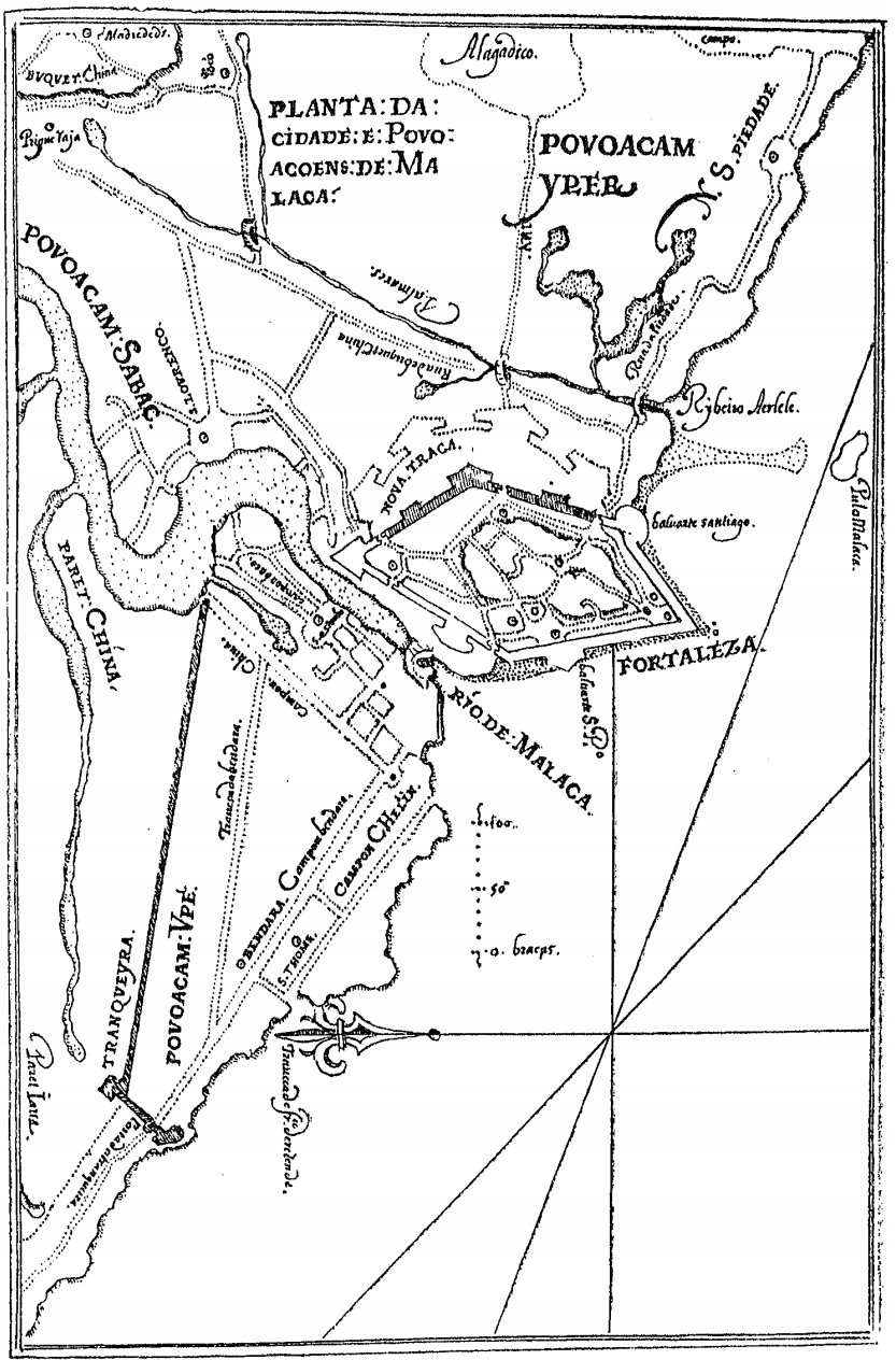
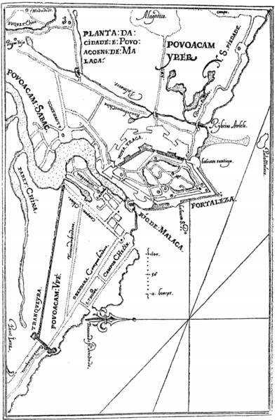
Description: An early 17th century map of the city of Malacca and it's sorrounding area by the Portuguese-Malayan cartographer Manuel Godinho de Herédia
Title: Portuguese Malacca map
Credit: Declaraçam de Malaca e da India Meridional com Cathay, 1604
Author: Manuel Godinho de Herédia
Usage Terms: Creative Commons Zero, Public Domain Dedication
License: CC0
License Link: http://creativecommons.org/publicdomain/zero/1.0/deed.en
Attribution Required?: No
Image usage
The following page links to this image:

All content from Kiddle encyclopedia articles (including the article images and facts) can be freely used under Attribution-ShareAlike license, unless stated otherwise.