
Image: Powells creek
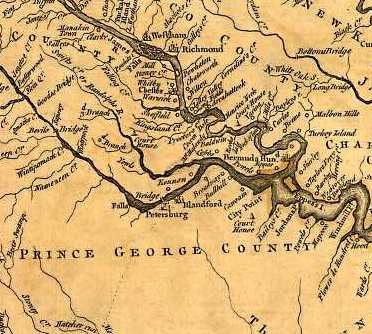
Description: A map of the most inhabited part of Virginia containing the whole province of Maryland with part of Pennsylvania, New Jersey and North Carolina. Drawn by Joshua Fry & Peter Jefferson in 1751, published by Thos. Jefferys, London, 1755. This landmark map, unusual in that it relied on firsthand surveys, is the first correct depiction of the Allegheny Mountains, complete with 'The Great Road from the Yadkin River through Virginia to Philadelphia distant 455 Miles' - an accurate survey of what would come to be styled the Great Philadelphia Wagon Road.
Title: Powells creek
Credit: http://hdl.loc.gov/loc.gmd/g3880.ct000370
Author: Joshua Fry and Peter Jefferson
Usage Terms: Public domain
License: Public domain
Attribution Required?: No
Image usage
The following page links to this image:
